Plan of Marseilles
Item Information
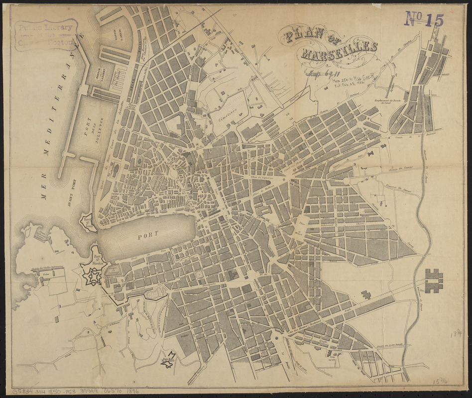
- Title:
- Plan of Marseilles
- Publisher:
- Bradshaw, George, 1801-1853
- Date:
-
[ca. 1850–1859]
- Format:
-
Maps/Atlases
- Location:
-
Boston Public Library
Norman B. Leventhal Map & Education Center - Collection (local):
-
Norman B. Leventhal Map & Education Center Collection
- Subjects:
-
Marseille (France)--Maps
- Places:
-
FranceProvence-Alpes-Côte d'Azur (region)Marseilles
- Extent:
- 1 map ; 34 x 40 cm
- Terms of Use:
-
No known copyright restrictions.
No known restrictions on use.
- Publisher:
-
[London] :
[George Bradshaw]
- Scale:
-
Scale approximately 1:9,000
- Language:
-
English
- Notes:
-
Originally published in: Plans of towns to accompany Bradshaw's continental railway guide and general handbook. 28 maps ; 15 cm.
- Identifier:
-
06_01_014241
- Call #:
-
G5834.M4 1850 .P53
- Barcode:
-
39999065701896


