Toggle navigation
LMEC Home
Exhibitions
Georeferencing
Tools for Teachers
Collections
My Favorites
Sign Up / Log In
Search
Search the map portal
Map Collection
Map Collection
Map Sets
Search
Search
Search for
Search In
All Fields
Creator
Title
Subject
Place
Search All Digital Collections
Advanced Search
79 Results
My Search
Start Over
More Like
commonwealth:6395x786q
Remove constraint More Like: commonwealth:6395x786q
Filter your Search
Place
North and Central America
65
United States
63
New York
40
Europe
6
Erie (county)
5
Lower Bay
5
New Jersey
5
Upper Bay
5
more
Place
»
Topic
Navigation
8
Coastlines
5
Harbors
5
Rivers
2
Streets
2
1706
1
Atlantic Coast (U.S.)
1
Buildings
1
more
Topic
»
Date
Date range begin
–
Date range end
Current results range from
1540
to
2005
View distribution
Creator
Cram, George Franklin, 1841-1928
11
Rand McNally and Company
7
Matthews-Northrup Company
5
Smith, Benjamin E. (Benjamin Eli), 1857-1913
5
Bache, A. D. (Alexander Dallas), 1806-1867
4
Mitchell, S. Augustus (Samuel Augustus), 1792-1868
4
Faden, William, 1749-1836
3
Johnson, A. J. (Alvin Jewett), 1827-1884
3
more
Creator
»
Format
Maps/Atlases
77
Books
1
Prints
1
Georeferenced
No
79
Collection
Robert E. Diefenbach Map Collection at Phillips Academy
75
Ralph Finos Map Collection at Phillips Academy
2
American Revolutionary War-Era Maps
1
Norman B. Leventhal Map & Education Center Collection
1
Richard H. Brown Revolutionary War Map Collection at Mount Vernon
1
Available to use
No known restrictions
75
Creative Commons license
4
Search Constraints
Sort by relevance
relevance
title
date (asc)
date (desc)
Number of results to display per page
20 per page
10
per page
20
per page
50
per page
100
per page
View results as:
grid view
map view
Search Results
41.
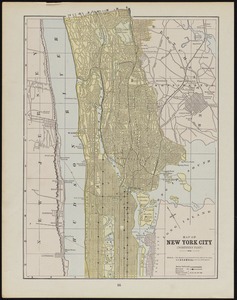
Map of New York City (southern part)
42.
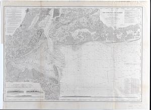
Map of New-York Bay and Harbor and the environs : Founded upon a trigonometrical survey under the direction of F.R. Hassler,...
43.
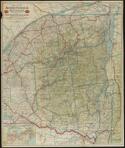
Map of the Adirondack Mountains showing how to reach them by the New York Central Lines
44.
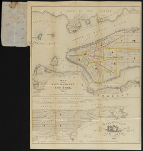
Map of the city and county of New York
45.
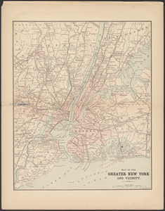
Map of the greater New York and vicinity
46.
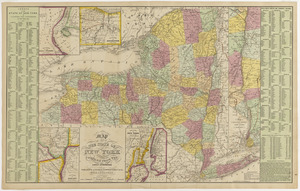
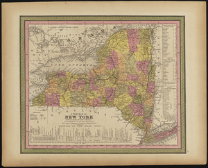
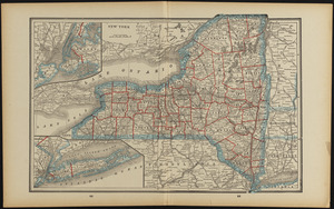
Map of the state of New York compiled from the latest authorities
47.
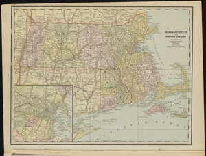
Massachusetts and Rhode Island
48.
Massachusetts and Rhode Island
49.
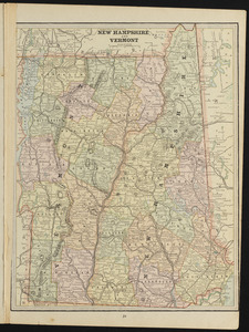
New Hampshire and Vermont
50.
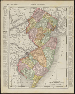
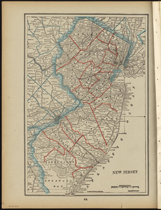
New Jersey
51.
New Jersey
52.
New Jersey
53.
A new map of New York with its canals, roads & distances
54.
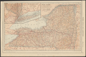
New York
55.
New York
56.
New York
57.
New York
58.
New York
59.
New York
60.
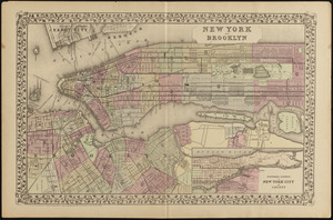
New York and Brooklyn
‹ Prev
Next ›
1
2
3
4