Toggle navigation
LMEC Home
Exhibitions
Georeferencing
Tools for Teachers
Collections
My Favorites
Sign Up / Log In
Search
Search the map portal
Map Collection
Map Collection
Map Sets
Search
Search
Search for
Search In
All Fields
Creator
Title
Subject
Place
Search All Digital Collections
Advanced Search
8753 Results
My Search
Start Over
More Like
commonwealth:4m90fd86m
Remove constraint More Like: commonwealth:4m90fd86m
Filter your Search
Place
North and Central America
5,976
United States
4,893
Massachusetts
2,079
Europe
1,396
Suffolk (county)
1,046
Boston
1,019
Canada
472
Asia
438
more
Place
»
Topic
Boston (Mass.)--Maps
586
United States--Maps
330
Real property--Massachusetts--Boston--Maps
175
Massachusetts--Maps
162
Landowners--Massachusetts--Boston--Maps
133
New England--Maps
107
North America--Maps--Early works to 1800
103
Europe--Maps
79
more
Topic
»
Date
Date range begin
–
Date range end
Current results range from
1482
to
2023
View distribution
Creator
United States. Hydrographic Office
595
O.H. Bailey & Co
148
Des Barres, Joseph F. W. (Joseph Frederick Wallet), 1722-1824
123
United States. Post Office Dept
120
Ptolemy, 2nd cent
100
Walling, Henry Francis, 1825-1888
94
Geological Survey (U.S.)
87
Jefferys, Thomas, -1771
85
more
Creator
»
Format
Maps/Atlases
8,693
Manuscripts
215
Prints
56
Books
36
Objects/Artifacts
10
Drawings/Illustrations
8
Posters
5
Georeferenced
Yes
870
No
7,883
Collection
Norman B. Leventhal Map & Education Center Collection
8,700
Boston and New England Maps
2,233
Urban Maps
2,023
Maritime Charts and Atlases
1,083
American Revolutionary War-Era Maps
667
Boston Redevelopment Authority Collection
87
American Antiquarian Society Collection
23
William L. Clements Library Collection
20
more
Collection
»
Available to use
No known restrictions
8,556
Creative Commons license
50
Search Constraints
Sort by relevance
relevance
title
date (asc)
date (desc)
Number of results to display per page
20 per page
10
per page
20
per page
50
per page
100
per page
View results as:
grid view
map view
Search Results
6861.
Porto-Rico showing road work, light houses, rail roads, towns and coast line
6862.
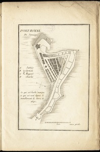
Port-Royal de Jamaique
6863.
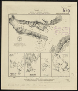
Ports in Barbara Channel : from British surveys corrected to 1877
6864.
Ports in the Philippine Islands
6865.
The Portuguese Douro and the adjacent country : and so much of the river as can be made navigable in Spain = Douro Portuguez e...
6866.
Position of the detachment under Lieut. Col. Baum, at Walmscock near Bennington shewing the attacks of the enemy on the 16th...
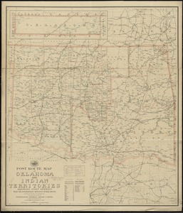
6867.
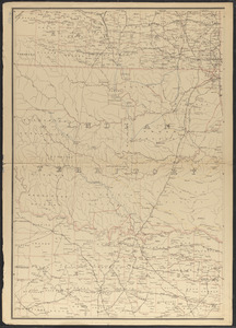
Post route map of Oklahoma and Indian territories showing post offices with the intermediate distances on mail routes in...
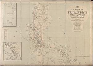
6868.
Post route map of Philippine Islands showing post offices in operation on the 1st of December, 1903
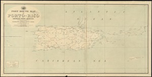
6869.
Post route map of Porto-Rico showing post offices in operation on the 1st of December, 1903
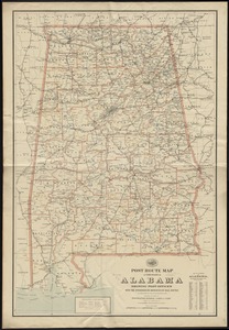
6870.
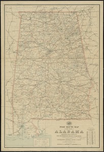
Post route map of the State of Alabama showing post offices with the intermediate distances on mail routes in operation on the...
6871.
Post route map of the state of Alabama showing post offices with the intermediate distances on mail routes in operation on the...
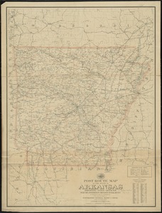
6872.
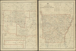
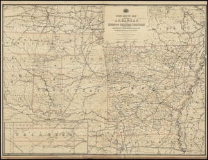
Post route map of the state of Arkansas and of Indian and Oklahoma territories showing post offices with the intermediate...
6873.
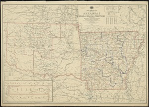
Post route map of the State of Arkansas and of Indian and Oklahoma territories with adjacent portions of Mississippi,...
6874.
Post route map of the State of Arkansas and of Indian and Oklahoma territories with adjacent portions of Mississippi,...
6875.
Post route map of the state of Arkansas and of the Indian Territory, with adjacent portions of Mississippi, Tennessee,...
6876.
Post route map of the state of Arkansas showing post offices with the intermediate distances on mail routes in operation on the...
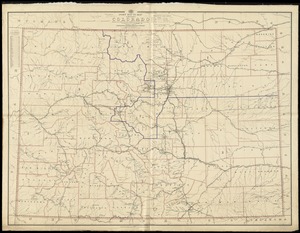
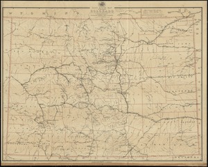
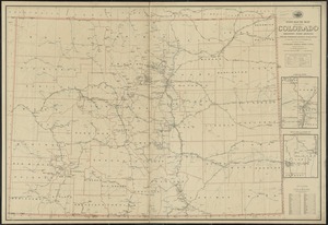
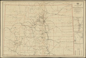
6877.
Post route map of the State of Colorado showing post offices with the intermediate distances and mail routes in operation on...
6878.
Post route map of the State of Colorado showing post offices with the intermediate distances and mail routes in operation on...
6879.
Post route map of the State of Colorado showing post offices with the intermediate distances on mail routes in operation on the...
6880.
Post route map of the State of Colorado showing post offices with the intermediate distances on mail routes in operation on the...
‹ Prev
Next ›
1
2
…
340
341
342
343
344
345
346
347
348
…
437
438