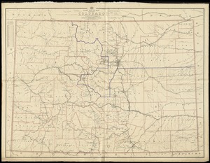
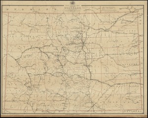
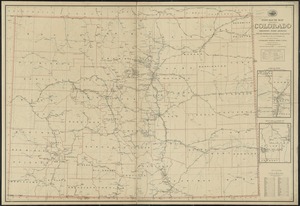
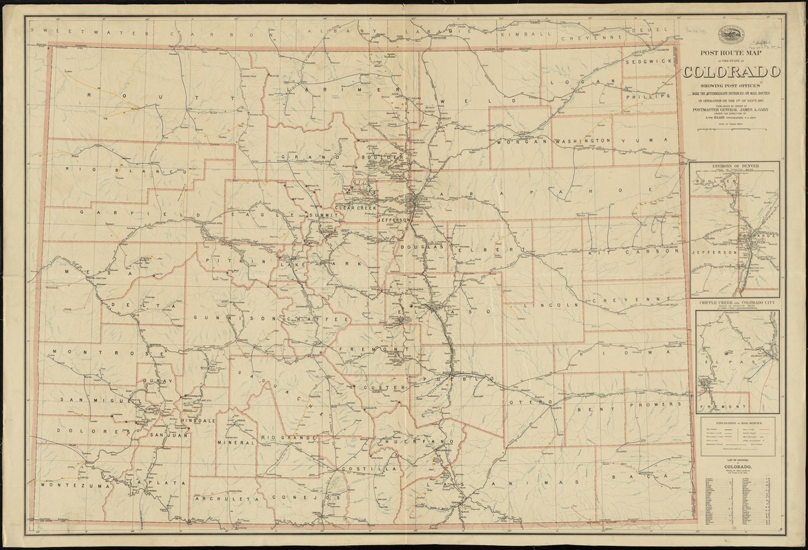
Post route map of the State of Colorado showing post offices with the intermediate distances on mail routes in operation on the 1st of Sept. 1897
Item Information
- Title:
- Post route map of the State of Colorado showing post offices with the intermediate distances on mail routes in operation on the 1st of Sept. 1897
- Creator:
- United States. Post Office Department
- Name on Item:
-
published by order of Postmaster General James A. Gary under the direction of A. von Haake, topographer, P.O. Dept.
- Date:
-
1897
- Format:
-
Maps/Atlases
- Location:
-
Boston Public Library
Norman B. Leventhal Map & Education Center - Collection (local):
-
Norman B. Leventhal Map & Education Center Collection
- Subjects:
-
Counties--Colorado--Maps
Railroads--Colorado--Maps
Postal service--Colorado--Maps
Colorado--Maps
- Places:
-
Colorado
- Extent:
- 1 map : color ; 85 x 125 cm
- Terms of Use:
-
No known copyright restrictions.
No known restrictions on use.
- Publisher:
-
[Washington D.C.] :
The Department
- Scale:
-
Scale [ca. 1:575,000]
- Language:
-
English
- Notes:
-
Shows counties, railroads, postal routes of various frequencies, special supply routes, and mail messenger routes.
Relief shown by hachures.
Insets: Environs of Denver -- Cripple Creek and Colorado City.
Includes list of counties.
- Identifier:
-
06_01_008934
- Call #:
-
G4311.P8 1897 .U55x
- Barcode:
-
39999065689042