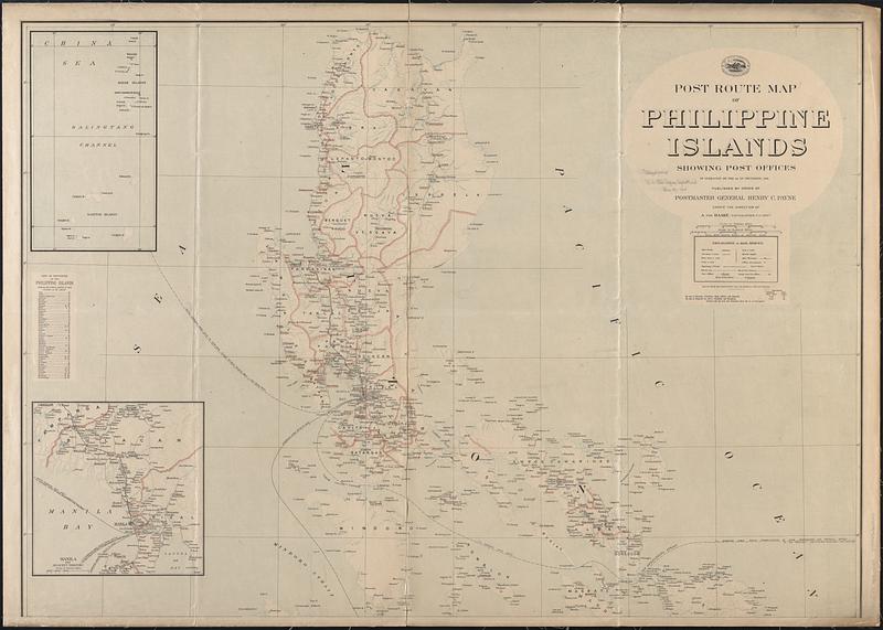
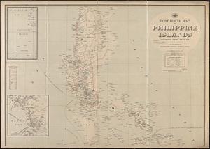
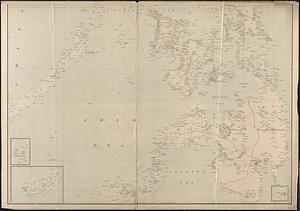
Post route map of Philippine Islands showing post offices in operation on the 1st of December, 1903
Item Information
- Title:
- Post route map of Philippine Islands showing post offices in operation on the 1st of December, 1903
- Cartographer:
- United States. Post Office Department
- Name on Item:
-
published by order of Postmaster General Henry C. Payne under the direction of A. von Haake, topographer P.O. Dept.
- Date:
-
1903
- Format:
-
Maps/Atlases
- Location:
-
Boston Public Library
Norman B. Leventhal Map & Education Center - Collection (local):
-
Norman B. Leventhal Map & Education Center Collection
- Subjects:
-
Philippines--Administrative and political divisions--Maps
Postal service--Philippines--Maps
Railroads--Philippines--Maps
- Places:
-
Philippines
- Extent:
- 1 map on 2 sheets : color ; 177 x 125 cm, on sheets 94 x 131 cm
- Terms of Use:
-
No known copyright restrictions.
No known restrictions on use.
- Publisher:
-
[Washington] :
Post Office Dept.
- Scale:
-
Scale approximately 1:825,000
- Language:
-
English
- Notes:
-
Also shows railroads, provinces, and submarine cables.
Insets: [Batan Islands and Babuyan Islands] -- Manila and adjacent territory -- [Balabac Island and adjacent territory] -- [Jolo Archipelago] -- [Sarangani Channel].
Includes index to provinces.
- Identifier:
-
06_01_009130A
06_01_009130B
- Call #:
-
G8061.P8 1903 .U55x
- Barcode:
-
39999065659243


