Toggle navigation
LMEC Home
Exhibitions
Georeferencing
Tools for Teachers
Collections
My Favorites
Sign Up / Log In
Search
Search the map portal
Map Collection
Map Collection
Map Sets
Search
Search
Search for
Search In
All Fields
Creator
Title
Subject
Place
Search All Digital Collections
Advanced Search
8803 Results
My Search
Start Over
More Like
commonwealth:4m90fd76c
Remove constraint More Like: commonwealth:4m90fd76c
Filter your Search
Place
North and Central America
6,034
United States
4,931
Massachusetts
2,153
Europe
1,396
Suffolk (county)
1,049
Boston
1,022
Canada
456
Asia
438
more
Place
»
Topic
Boston (Mass.)--Maps
592
United States--Maps
282
Massachusetts--Maps
235
Real property--Massachusetts--Boston--Maps
175
Landowners--Massachusetts--Boston--Maps
133
New England--Maps
127
North America--Maps--Early works to 1800
103
Europe--Maps
79
more
Topic
»
Date
Date range begin
–
Date range end
Current results range from
1482
to
2023
View distribution
Creator
United States. Hydrographic Office
595
O.H. Bailey & Co
148
Des Barres, Joseph F. W. (Joseph Frederick Wallet), 1722-1824
123
United States. Post Office Dept
120
Ptolemy, 2nd cent
100
Walling, Henry Francis, 1825-1888
95
Geological Survey (U.S.)
93
Jefferys, Thomas, -1771
86
more
Creator
»
Format
Maps/Atlases
8,742
Manuscripts
217
Prints
56
Books
36
Objects/Artifacts
10
Drawings/Illustrations
8
Posters
5
Ephemera
1
Georeferenced
Yes
881
No
7,922
Collection
Norman B. Leventhal Map & Education Center Collection
8,742
Boston and New England Maps
2,286
Urban Maps
2,024
Maritime Charts and Atlases
1,083
American Revolutionary War-Era Maps
660
Boston Redevelopment Authority Collection
90
David Judkins Weaver Papers
23
Applied Geographics, Inc. Records
20
more
Collection
»
Available to use
No known restrictions
8,600
Creative Commons license
54
Search Constraints
Sort by relevance
relevance
title
date (asc)
date (desc)
Number of results to display per page
20 per page
10
per page
20
per page
50
per page
100
per page
View results as:
grid view
map view
Search Results
2201.
Cuba Insula ; Hispaniola Insula
2202.
Cuba, south coast, approaches to Ports Casilda and Masio with the adjacent anchorages : from a Spanish government chart of 1879
2203.
Culiacanae, Americae regionis, descriptio : Hispaniolae, Cubae, aliarumque insularum circumiacientium, delineatio
2204.
Cumbria & Westmoria : vulgo Cumberland & Westmorland
2205.
Cummings' map of Columbia and Montour counties, Penn'a : from actual surveys
2206.
Curaçao
2207.
De cust van Barbaria, Gualata, Arguyn en Geneheo van Capo S Vincente tot Capo Verde
2208.
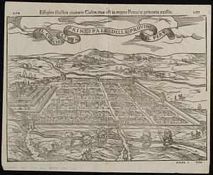
Il Cvscho citta principale della provincia del Perv
2209.
Cyclists' road map of the Philadelphia District
2210.
Dagbladets kart over krigsskuepladsen
2211.
Daily Mail map of the battlefields of France
2212.
Daily mail war map
2213.
The Daily Telegraph gazetteer war map (no. 4)
2214.
The Daily Telegraph map no. 25 : races of Eastern Europe
2215.
The Daily Telegraph war map no. 10
2216.
The Daily Telegraph war map no. 11
2217.
The Daily Telegraph war map no. 12
2218.
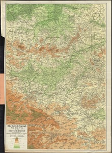
The Daily Telegraph war map no. 13 of the British front
2219.
The Daily Telegraph war map no. 14 : of the western front, Arras to Nancy
2220.
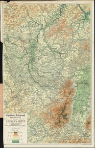
The Daily Telegraph war map no. 15 : of the western front, Verdun to Belfort
‹ Prev
Next ›
1
2
…
107
108
109
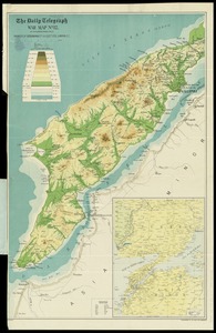
110
111
112
113
114
115
…
440
441