Toggle navigation
LMEC Home
Exhibitions
Georeferencing
Tools for Teachers
Collections
My Favorites
Sign Up / Log In
Search
Search the map portal
Map Collection
Map Collection
Map Sets
Search
Search
Search for
Search In
All Fields
Creator
Title
Subject
Place
Search All Digital Collections
Advanced Search
8694 Results
My Search
Start Over
More Like
commonwealth:4m90fb22n
Remove constraint More Like: commonwealth:4m90fb22n
Filter your Search
Place
North and Central America
5,925
United States
4,843
Massachusetts
2,079
Europe
1,396
Suffolk (county)
1,046
Boston
1,019
Canada
449
Asia
438
more
Place
»
Topic
Boston (Mass.)--Maps
586
United States--Maps
282
Real property--Massachusetts--Boston--Maps
175
Massachusetts--Maps
162
Landowners--Massachusetts--Boston--Maps
133
North America--Maps--Early works to 1800
103
New England--Maps
102
Europe--Maps
79
more
Topic
»
Date
Date range begin
–
Date range end
Current results range from
1482
to
2023
View distribution
Creator
United States. Hydrographic Office
595
O.H. Bailey & Co
148
Des Barres, Joseph F. W. (Joseph Frederick Wallet), 1722-1824
123
United States. Post Office Dept
120
Ptolemy, 2nd cent
100
Walling, Henry Francis, 1825-1888
94
Geological Survey (U.S.)
86
Jefferys, Thomas, -1771
85
more
Creator
»
Format
Maps/Atlases
8,634
Manuscripts
215
Prints
56
Books
36
Objects/Artifacts
10
Drawings/Illustrations
8
Posters
5
Georeferenced
Yes
868
No
7,826
Collection
Norman B. Leventhal Map & Education Center Collection
8,694
Boston and New England Maps
2,233
Urban Maps
2,023
Maritime Charts and Atlases
1,083
American Revolutionary War-Era Maps
616
Boston Redevelopment Authority Collection
87
Available to use
No known restrictions
8,552
Creative Commons license
47
Search Constraints
Sort by relevance
relevance
title
date (asc)
date (desc)
Number of results to display per page
20 per page
10
per page
20
per page
50
per page
100
per page
View results as:
grid view
map view
Search Results
1.
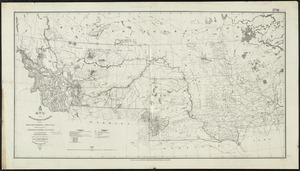
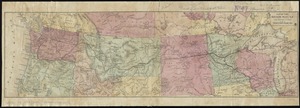
Map of the Department of Dakota including Minnesota, Dakota and Montana
2.
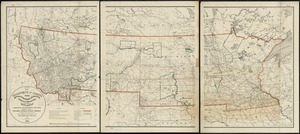
Map of the Department of Dakota including Minnesota, North Dakota, Montana, Yellowstone National Park, and that portion of...
3.
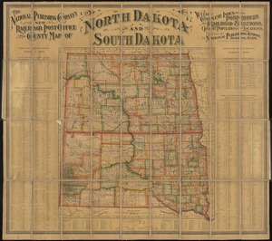
The National Publishing Company's new railroad, post-office and county map of North Dakota and South Dakota : with complete...
4.
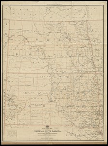
Official map of the territory of Dakota, showing the two general divisions of Dakota, South and North, the land districts,...
5.
Post route map of the states of North and South Dakota with adjacent parts of Montana, Wyoming, Nebraska, Iowa and Minnesota...
6.
Post route map of the states of North and South Dakota with adjacent parts of Montana, Wyoming, Nebraska, Iowa and Minnesota...
7.
United States, including territories and insular possessions : showing the extent of public surveys, national parks, national...
8.
United States, including territories and insular possessions, showing the extent of public surveys, Indian, military and forest...
9.
Map of military Department of the Platte, Nebraska
10.
Map of Nebraska showing the Union Pacific Railroad land grant
11.
Map to illustrate an exploration of the country lying between the Missouri River and the Rocky Mountains, on the line of the...
12.
Preliminary post route map of the states of Kansas and Nebraska with adjacent parts of Missouri, Iowa, Dakota, Colorado, Texas,...
13.
State of Nebraska
14.
State of Nebraska
15.
Karte zur übersicht der neuesten forschungen im innern Nord-Amerika's bis zum ostrande der Rocky Mts
16.
Map of the Nez Perce Indian campaign Brig. Gen. O. O. Howard commanding
17.
Map of the Northern Pacific R.R. its connections and tributary country
18.
Northern Pacific Rail Road and connections
19.
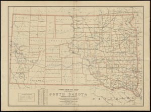
Post route map of the state of South Dakota showing post offices with the intermediate distances on mail routes in operation on...
20.
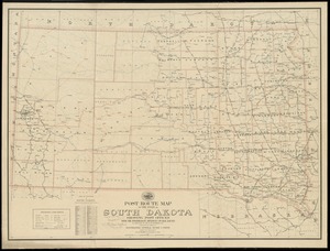
Post route map of the state of South Dakota showing post offices with the intermediate distances on mail routes in operation on...
‹ Prev
Next ›
1
2
3
4
5
…
434
435