Toggle navigation
LMEC Home
Exhibitions
Georeferencing
Tools for Teachers
Collections
My Favorites
Sign Up / Log In
Search
Search the map portal
Map Collection
Map Collection
Map Sets
Search
Search
Search for
Search In
All Fields
Creator
Title
Subject
Place
Search All Digital Collections
Advanced Search
8651 Results
My Search
Start Over
More Like
commonwealth:3n206t74d
Remove constraint More Like: commonwealth:3n206t74d
Filter your Search
Place
North and Central America
5,890
United States
4,808
Massachusetts
2,068
Europe
1,392
Suffolk (county)
1,041
Boston
1,014
Canada
449
Asia
437
more
Place
»
Topic
Boston (Mass.)--Maps
583
United States--Maps
279
Real property--Massachusetts--Boston--Maps
175
Massachusetts--Maps
162
Landowners--Massachusetts--Boston--Maps
133
North America--Maps--Early works to 1800
103
New England--Maps
101
Europe--Maps
79
more
Topic
»
Date
Date range begin
–
Date range end
Current results range from
1482
to
2023
View distribution
Creator
United States. Hydrographic Office
595
O.H. Bailey & Co
148
Des Barres, Joseph F. W. (Joseph Frederick Wallet), 1722-1824
123
United States. Post Office Dept
120
Ptolemy, 2nd cent
100
Walling, Henry Francis, 1825-1888
94
Geological Survey (U.S.)
87
Jefferys, Thomas, -1771
85
more
Creator
»
Format
Maps/Atlases
8,591
Manuscripts
215
Prints
56
Books
36
Objects/Artifacts
10
Drawings/Illustrations
8
Posters
5
Georeferenced
Yes
869
No
7,782
Collection
Norman B. Leventhal Map & Education Center Collection
8,646
Boston and New England Maps
2,220
Urban Maps
1,992
Maritime Charts and Atlases
1,083
American Revolutionary War-Era Maps
615
Boston Redevelopment Authority Collection
87
Massachusetts Real Estate Atlases
5
Available to use
No known restrictions
8,505
Creative Commons license
46
Search Constraints
Sort by relevance
relevance
title
date (asc)
date (desc)
Number of results to display per page
20 per page
10
per page
20
per page
50
per page
100
per page
View results as:
grid view
map view
Search Results
1.
Atlas of Essex County, Massachusetts
2.
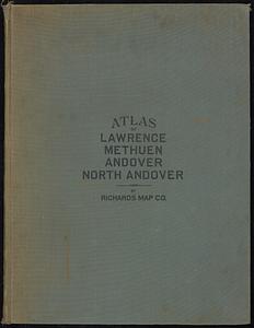
Atlas of the city of Lawrence and the towns of Methuen, Andover and North Andover, Massachusetts
3.
City atlas of Lawrence, Massachusetts : from official records, private plans and actual surveys, based upon plans deposited in...
4.
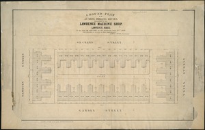
Ground plan of 50 brick dwelling houses, belonging to the Lawrence Machine Shop, Lawrence, Mass : to be sold by auction on the...
5.
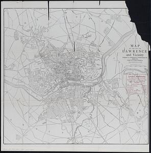
Map of the city of Lawrence and vicinity
6.
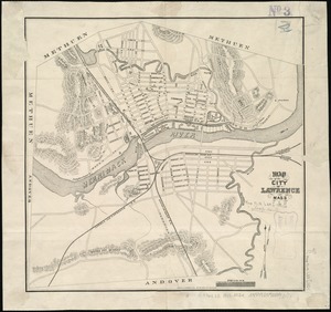
Map of the city of Lawrence Mass
7.
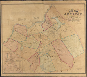
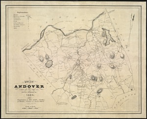
Map of the town of Andover, Essex County, Massachusetts
8.
A plan of Andover taken for the town
9.
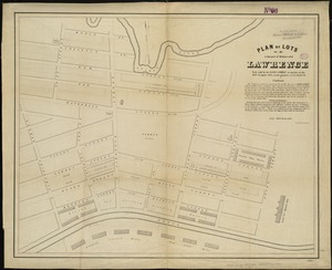
Plan of lots in that part of Methuen called Lawrence : to be sold by the Essex Company at auction on the 28th of April, 1847,...
10.
Atlas of Massachusetts
11.
Atlas of the city of Lawrence and the towns of Methuen, Andover and North Andover, Massachusetts
12.
Atlas of the city of Lawrence and the towns of Methuen, Andover and North Andover, Massachusetts
13.
Atlas of the city of Lawrence, Massachusetts : including also the town of Methuen
14.
City atlas of Lawrence, Massachusetts
15.
The 100th anniversary map of Abraham Lincoln's visit to Massachusetts, September 11-23, 1848
16.
1630 shoreline
17.
1879. Progress map of the U.S. Geographical Surveys west of the 100th Meridian : prepared under the direction of 1st Lieut....
18.
1903 Map of Salem and surrounding places
19.
19th annual convention of the National Association of Real Estate Boards : at Tulsa, June 7 to June 11 in 1926
20.
2005 significant U.S. hurricane strikes
‹ Prev
Next ›
1
2
3
4
5
…
432
433