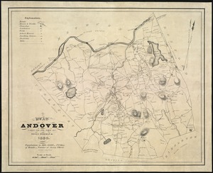
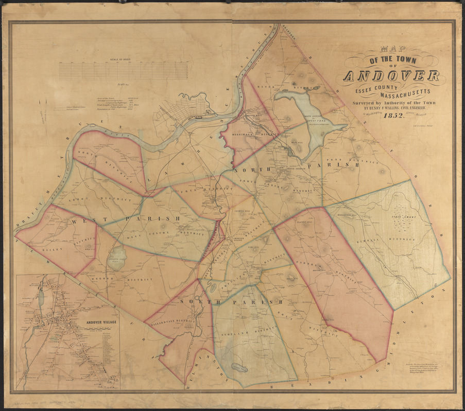
Map of the town of Andover, Essex County, Massachusetts
Item Information
- Title:
- Map of the town of Andover, Essex County, Massachusetts
- Cartographer:
- Walling, Henry Francis, 1825-1888
- Lithographer:
- Kollner, Augustus, 1813-1906
- Name on Item:
-
surveyed by authority of the town by Henry F. Walling, civil engineer
- Date:
-
1852
- Format:
-
Maps/Atlases
- Location:
-
Boston Public Library
Norman B. Leventhal Map & Education Center - Collection (local):
-
Norman B. Leventhal Map & Education Center Collection
- Subjects:
-
Landowners--Massachusetts--Andover (Town)--Maps
Landowners--Massachusetts--North Andover--Maps
Andover (Mass. : Town)--Maps
Lawrence (Mass.)--Maps
North Andover (Mass.)--Maps
- Places:
-
MassachusettsEssex (county)Andover
MassachusettsEssex (county)Lawrence
MassachusettsEssex (county)North Andover
- Extent:
- 1 map : hand color ; 88 x 105 cm
- Terms of Use:
-
No known copyright restrictions.
No known restrictions on use.
- Publisher:
-
Boston :
Henry F. Walling
- Scale:
-
Scale 1:18,000
- Language:
-
English
- Notes:
-
Shows school districts, parishes and property owners.
Relief shown by hachures.
Inset: Andover Village.
Includes statistics for the town.
- Identifier:
-
06_01_014389
- Call #:
-
G3764.A62 1852 .W35
- Barcode:
-
39999065702936