Toggle navigation
LMEC Home
Exhibitions
Georeferencing
Tools for Teachers
Collections
My Favorites
Sign Up / Log In
Search
Search the map portal
Map Collection
Map Collection
Map Sets
Search
Search
Search for
Search In
All Fields
Creator
Title
Subject
Place
Search All Digital Collections
Advanced Search
8943 Results
My Search
Start Over
More Like
commonwealth:3f463917s
Remove constraint More Like: commonwealth:3f463917s
Filter your Search
Place
North and Central America
6,174
United States
5,076
Massachusetts
2,195
Europe
1,396
Suffolk (county)
1,207
Boston
1,180
Canada
450
Asia
438
more
Place
»
Topic
Boston (Mass.)--Maps
752
United States--Maps
282
Massachusetts--Maps
235
Real property--Massachusetts--Boston--Maps
195
City planning--Massachusetts--Boston--Maps
157
Landowners--Massachusetts--Boston--Maps
142
New England--Maps
106
North America--Maps--Early works to 1800
103
more
Topic
»
Date
Date range begin
–
Date range end
Current results range from
1482
to
2023
View distribution
Creator
United States. Hydrographic Office
595
Boston Redevelopment Authority
162
O.H. Bailey & Co
148
Des Barres, Joseph F. W. (Joseph Frederick Wallet), 1722-1824
124
United States. Post Office Dept
120
Ptolemy, 2nd cent
100
Walling, Henry Francis, 1825-1888
95
Geological Survey (U.S.)
92
more
Creator
»
Format
Maps/Atlases
8,882
Manuscripts
219
Prints
56
Books
36
Objects/Artifacts
10
Drawings/Illustrations
8
Posters
5
Ephemera
1
Georeferenced
Yes
894
No
8,049
Collection
Norman B. Leventhal Map & Education Center Collection
8,765
Boston and New England Maps
2,404
Urban Maps
2,144
Maritime Charts and Atlases
1,083
American Revolutionary War-Era Maps
659
Boston Redevelopment Authority Collection
194
Applied Geographics, Inc. Records
22
Mapping Boston Collection
22
more
Collection
»
Available to use
No known restrictions
8,707
Creative Commons license
73
Search Constraints
Sort by relevance
relevance
title
date (asc)
date (desc)
Number of results to display per page
20 per page
10
per page
20
per page
50
per page
100
per page
View results as:
grid view
map view
Search Results
5661.
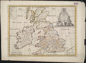
A new map of the Brittish Isles shewing their present genl. divisions, cities, and such other towns, or places, as answer to...
5662.
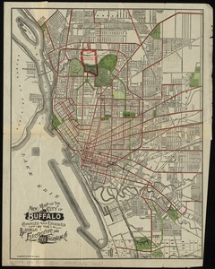
New map of the City of Buffalo
5663.
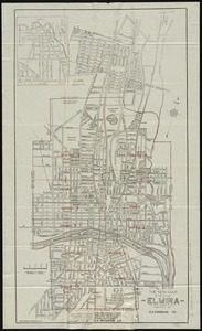
The new map of the City of Elmira
5664.
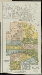
The new map of the City of Elmira
5665.
New map of the city of Norwich
5666.
New map of the city of Philadelphia from the latest city surveys
5667.
A new map of the country of Louisiana and of ye river Missisipi in North America discou'd by Mons. de la Salle in ye years...
5668.
New map of the Dominion of Canada
5669.
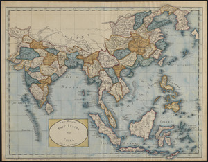
A new map of the East Indies and China from the best authorities
5670.
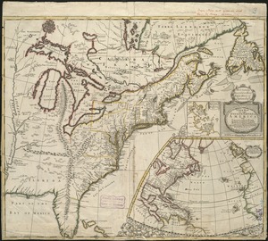
A new map of the English empire in America viz. Virginia, Maryland, Carolina, Pennsylvania, New York, New Iarsey, New England,...
5671.
A new map of the Hudson River : the post roads between N. York & Albany, the northern and western canals, &c., &c
5672.
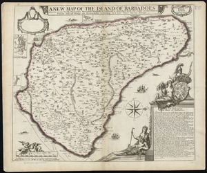
A new map of the Island of Barbadoes wherein every parish, plantation, watermill, windmill & cattlemill, is described with the...
5673.
A new map of the Land of Promise and the holy city of Jerusalem describing the most important events in the Old & New Testaments
5674.
A new map of the most considerable plantations of the English in America
5675.
A new map of the north part of antient Africa shewing the chiefe people, cities, towns, rivers, mountains, &c. in Mauritania,...
5676.
A new map of the north parts of America claimed by France under ye names of Louisiana, Mississipi, Canada, and New France with...
5677.
A new map of the north parts of America claimed by France under ye names of Louisiana, Mississipi, Canada, and New France with...
5678.
A new map of the only useful and frequented part of New Found Land
5679.
A New map of the province of Maryland in North America
5680.
A new map of the Province of Quebec, according to the Royal Proclamation, of the 7th of October 1763 : from the French surveys...
‹ Prev
Next ›
1
2
…
280
281
282
283
284
285
286
287
288
…
447
448