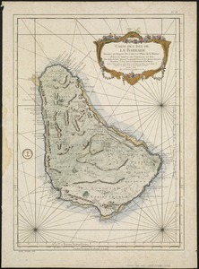
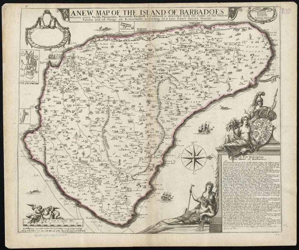
A new map of the Island of Barbadoes wherein every parish, plantation, watermill, windmill & cattlemill, is described with the name of the present possessor, and all things els remarkable according to a late exact survey thereof
Item Information
- Title:
- A new map of the Island of Barbadoes wherein every parish, plantation, watermill, windmill & cattlemill, is described with the name of the present possessor, and all things els remarkable according to a late exact survey thereof
- Title (alt.):
-
Collection of old maps
- Creator:
- Lea, Philip, fl. 1683-1700
- Date:
-
[1686?]
- Format:
-
Maps/Atlases
- Location:
-
Boston Public Library
Norman B. Leventhal Map & Education Center - Collection (local):
-
Norman B. Leventhal Map & Education Center Collection
- Subjects:
-
Barbados--Maps--Early works to 1800
- Places:
-
Barbados
- Extent:
- 1 map : hand col. ; 48 x 56 cm.
- Terms of Use:
-
No known copyright restrictions.
No known restrictions on use.
- Publisher:
-
London :
By Phillip Lea at ye Atlas & Hercules in ye Poultry over against ye ould Jury and by John Sellers at his shop at the West side of the Royal Exchange
- Scale:
-
Scale [ca.1:57 000]
- Language:
-
English
- Notes:
-
Relief shown pictorially.
Oriented with north to the right.
A further state, with additions including symbols indicating rocks around the coast.
Includes ill. and a description of the island.
Cataloging, conservation, and digitization made possible in part by The National Endowment for the Humanities: Exploring the human endeavor.
Part of composite portfolio atlas with title "Collection of old maps."
- Identifier:
-
06_01_010163
- Call #:
-
G1015 .C651 1630
- Barcode:
-
30000003120081