Toggle navigation
LMEC Home
Exhibitions
Georeferencing
Tools for Teachers
Collections
My Favorites
Sign Up / Log In
Search
Search the map portal
Map Collection
Map Collection
Map Sets
Search
Search
Search for
Search In
All Fields
Creator
Title
Subject
Place
Search All Digital Collections
Advanced Search
880 Results
My Search
Start Over
More Like
commonwealth:3f4637537
Remove constraint More Like: commonwealth:3f4637537
Filter your Search
Place
North and Central America
856
United States
844
Boston
773
Suffolk (county)
772
Massachusetts
688
Boston Harbor
48
New England
36
Downtown Boston
35
more
Place
»
Topic
Boston (Mass.)--Maps
752
City planning--Massachusetts--Boston--Maps
106
Real property--Massachusetts--Boston--Maps
99
Landowners--Massachusetts--Boston--Maps
74
Urban renewal--Massachusetts--Boston--Maps
65
Local transit--Massachusetts--Boston--Maps
50
Massachusetts--Maps
48
Land use--Massachusetts--Boston--Maps
35
more
Topic
»
Date
Date range begin
–
Date range end
Current results range from
1493
to
2023
View distribution
Creator
Boston Redevelopment Authority
118
Geo. H. Walker & Co
27
Boynton, George W., d. 1884
21
Sampson, Davenport & Co
21
Sampson, Murdock & Co
20
Bromley, George Washington
18
Boston (Mass.). Engineering Dept
17
Bromley, Walter Scott
17
more
Creator
»
Format
Maps/Atlases
879
Manuscripts
9
Prints
1
Georeferenced
Yes
109
No
771
Collection
Norman B. Leventhal Map & Education Center Collection
740
Boston and New England Maps
644
Urban Maps
507
Mapping Boston Collection
142
Boston Redevelopment Authority Collection
124
American Revolutionary War-Era Maps
61
Maritime Charts and Atlases
28
Massachusetts Real Estate Atlases
12
more
Collection
»
Available to use
No known restrictions
696
Creative Commons license
151
Search Constraints
Sort by relevance
relevance
title
date (asc)
date (desc)
Number of results to display per page
20 per page
10
per page
20
per page
50
per page
100
per page
View results as:
grid view
map view
Search Results
521.
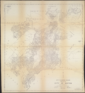
Map of the city of Boston and vicinity
522.
Map of the city of Boston and vicinity
523.
Map of the city of Boston, for 1890
524.
Map of the city of Boston, for 1891
525.
Map of the city of Boston, for 1892
526.
Map of the city of Boston, for 1893
527.
Map of the city of Boston, for 1894
528.
A map of the city of Boston in Massachusetts
529.
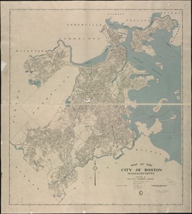
Map of the City of Boston, Massachusetts
530.
Map of the city of Boston Massachusetts
531.
Map of the city of Boston, Massts., 1852
532.
A map of the coast of New England from Staten Island to the island of Breton
533.
Map of the eastern junc. Broad Sound Pier, & Pt. Shirley railroad : steamboat lines and connections : established for the...
534.
[Map of the end of Boston Wharf from which restrictions are to be taken off]
535.
Map of the metropolitan district of Boston, Massachusetts : showing the existing public reservations and such new open spaces...
536.
Map of the metropolitan district of Boston, Massachusetts : showing local public reservations and holdings of the Metropolitan...
537.
Map of the Metropolitan District of Boston showing local public reservations and holdings of the Metropolitan District...
538.
Map of the principal part of Boston, and adjacent cities, for 1873
539.
Map of the water region of the county of Middlesex exhibiting the mode of supplying Boston & Charlestown with soft water from...
540.
A map plat or draught of the twelve divisions of land as they were laid out, bounded & measured to ye proprietors in...
‹ Prev
Next ›
1
2
…
23
24
25
26
27
28
29
30
31
…
43
44


![[Map of the end of Boston Wharf from which restrictions are to be taken off]](https://bpldcassets.blob.core.windows.net/derivatives/images/commonwealth:9s161d66k/image_thumbnail_300.jpg)


