Toggle navigation
LMEC Home
Exhibitions
Georeferencing
Tools for Teachers
Collections
My Favorites
Sign Up / Log In
Search
Search the map portal
Map Collection
Map Collection
Map Sets
Search
Search
Search for
Search In
All Fields
Creator
Title
Subject
Place
Search All Digital Collections
Advanced Search
8741 Results
My Search
Start Over
More Like
commonwealth:3f4637074
Remove constraint More Like: commonwealth:3f4637074
Filter your Search
Place
North and Central America
6,036
United States
4,958
Massachusetts
2,098
Europe
1,359
Suffolk (county)
1,221
Boston
1,194
Canada
448
Asia
422
more
Place
»
Topic
Boston (Mass.)--Maps
740
United States--Maps
273
Real property--Massachusetts--Boston--Maps
222
Landowners--Massachusetts--Boston--Maps
168
Massachusetts--Maps
163
City planning--Massachusetts--Boston--Maps
158
North America--Maps--Early works to 1800
103
New England--Maps
101
more
Topic
»
Date
Date range begin
–
Date range end
Current results range from
1482
to
2023
View distribution
Creator
United States. Hydrographic Office
594
Boston Redevelopment Authority
163
O.H. Bailey & Co
148
Des Barres, Joseph F. W. (Joseph Frederick Wallet), 1722-1824
124
United States. Post Office Dept
120
Ptolemy, 2nd cent
100
Walling, Henry Francis, 1825-1888
94
Geological Survey (U.S.)
87
more
Creator
»
Format
Maps/Atlases
8,682
Manuscripts
215
Prints
56
Books
36
Objects/Artifacts
10
Drawings/Illustrations
8
Posters
4
Georeferenced
Yes
885
No
7,856
Collection
Norman B. Leventhal Map & Education Center Collection
8,575
Boston and New England Maps
2,327
Urban Maps
2,056
Maritime Charts and Atlases
1,081
American Revolutionary War-Era Maps
638
Boston Redevelopment Authority Collection
193
Massachusetts Real Estate Atlases
38
Mapping Boston Collection
20
more
Collection
»
Available to use
No known restrictions
8,519
Creative Commons license
69
Search Constraints
Sort by relevance
relevance
title
date (asc)
date (desc)
Number of results to display per page
20 per page
10
per page
20
per page
50
per page
100
per page
View results as:
grid view
map view
Search Results
3321.
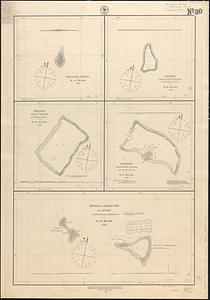
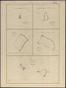
Hudsons Island ; Maraki or Matthews Island, Kingsmill Group ; Maiana or Halls Island, Kingsmill Group ; Apamama or Hoppers...
3322.
Hudsons Island ; Maraki or Matthews Island, Kingsmill Group ; Maiana or Halls Island, Kingsmill Group ; Apamama or Hoppers...
3323.
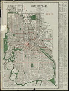
Hudson's map of Minneapolis
3324.
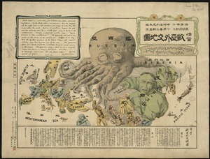
A humorous diplomatic atlas of Europe and Asia
3325.
Huntingdonensis comitatus Huntington Shire
3326.
Huntington
3327.
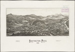
Huntington, Mass : 1886
3328.
Huquang, Kiangsi, Che Kiang, ac Fokien : provin: sivae praefecture Regni Sinen:s, versus Vulturnum, in plaga inter Orientem ac...
3329.
Huron Bay and Huron Islands, Lake Superior
3330.
Hyannis Harbor, Massachusetts
3331.
Hyde Park
3332.
Hyde Park & Fairmount : in Dorchester & Milton, Norfolk Co
3333.
Hyde Park, Massachusetts : 1890
3334.
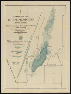
Hydrographic map of Big Cedar Lake, Wisconsin, Washington Co.
3335.
Hydrographic map of Delavan and Lauderdale Lakes Walworth Co. Wisconsin
3336.
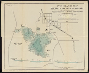
Hydrographic map of Elkhart Lake, Sheboygan Co. Wis.
3337.
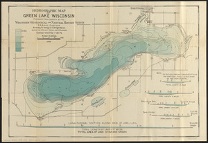
Hydrographic map of Green Lake, Wisconsin
3338.
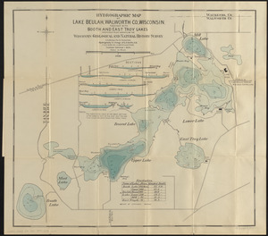
Hydrographic map of Lake Beulah, Walworth Co., Wisconsin, together with Booth and East Troy Lakes
3339.
Hydrographic map of Lake Geneva, Wisconsin
3340.
Hydrographic map of Lake Monona, Dane Co., Wisconsin and of the adjacent topography
‹ Prev
Next ›
1
2
…
163
164
165
166
167
168
169
170
171
…
437
438