Toggle navigation
LMEC Home
Exhibitions
Georeferencing
Tools for Teachers
Collections
My Favorites
Sign Up / Log In
Search
Search the map portal
Map Collection
Map Collection
Map Sets
Search
Search
Search for
Search In
All Fields
Creator
Title
Subject
Place
Search All Digital Collections
Advanced Search
8768 Results
My Search
Start Over
More Like
commonwealth:3f4630649
Remove constraint More Like: commonwealth:3f4630649
Filter your Search
Place
North and Central America
5,999
United States
4,903
Massachusetts
2,151
Europe
1,396
Suffolk (county)
1,047
Boston
1,020
Canada
450
Asia
438
more
Place
»
Topic
Boston (Mass.)--Maps
590
United States--Maps
282
Massachusetts--Maps
235
Real property--Massachusetts--Boston--Maps
175
Landowners--Massachusetts--Boston--Maps
133
New England--Maps
104
North America--Maps--Early works to 1800
103
Europe--Maps
79
more
Topic
»
Date
Date range begin
–
Date range end
Current results range from
1482
to
2023
View distribution
Creator
United States. Hydrographic Office
595
O.H. Bailey & Co
148
Des Barres, Joseph F. W. (Joseph Frederick Wallet), 1722-1824
123
United States. Post Office Dept
120
Ptolemy, 2nd cent
100
Walling, Henry Francis, 1825-1888
95
Geological Survey (U.S.)
92
Jefferys, Thomas, -1771
85
more
Creator
»
Format
Maps/Atlases
8,707
Manuscripts
217
Prints
56
Books
36
Objects/Artifacts
10
Drawings/Illustrations
8
Posters
5
Ephemera
1
Georeferenced
Yes
879
No
7,889
Collection
Norman B. Leventhal Map & Education Center Collection
8,737
Boston and New England Maps
2,279
Urban Maps
2,024
Maritime Charts and Atlases
1,083
American Revolutionary War-Era Maps
635
Boston Redevelopment Authority Collection
90
Applied Geographics, Inc. Records
20
David Judkins Weaver Papers
18
more
Collection
»
Available to use
No known restrictions
8,595
Creative Commons license
51
Search Constraints
Sort by relevance
relevance
title
date (asc)
date (desc)
Number of results to display per page
20 per page
10
per page
20
per page
50
per page
100
per page
View results as:
grid view
map view
Search Results
4981.
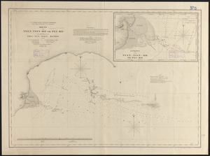
Mouth of the Teen-tsin-ho or Pei-ho and approach to the Sha-lui-tien banks
4982.
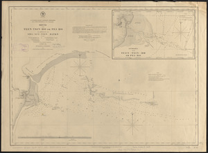
Mouth of the Teen-tsin-ho or Pei-ho and approach to the Sha-lui-tien banks
4983.
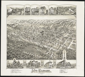
Mt. Carmel : Pennsylvania
4984.
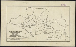
Mt. Monadnock trails laid out and developed by Scott A. Smith, 1894 to 1907, and as below 1907-8-9
4985.
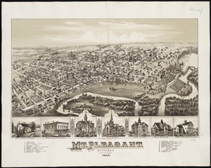
Mt. Pleasant, Michigan : 1884
4986.
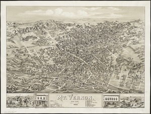
Mt. Vernon : New York, 1883
4987.
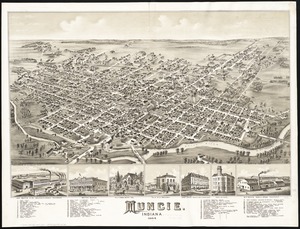
Muncie, Indiana : 1884
4988.
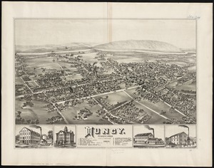
Muncy : Pennsylvania
4989.
Muskingum County, Ohio
4990.
M.W. Bruce's map of Alaska
4991.
N. America--east coast, Newfoundland--south coast, Burin Harbors
4992.
Naaukeurige platte grond van den staat loop van Rio de Berbice met derzelver plantagien in de geoctrojeerde colonie de Berbice
4993.
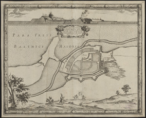
Nackschouia Lalandiae oppidum, quod praesidio 1600 Danorum munitu sine ullo conflictu S. R. M. Sueciae arbitrio se permisit. 8....
4994.
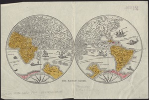
The Nancy globe
4995.
Nanitz' great mercantile map of Boston
4996.
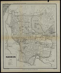
Nankin
4997.
Nanouti, Bishop or Sydenhams Island, Kingsmill Group ; Makin and Tari Tari Is. or Pitts and Touching Is., Kingsmill Group
4998.
Nantucket
4999.
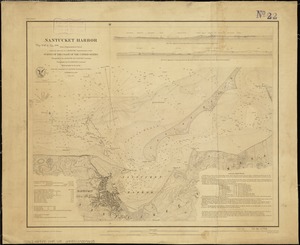
Nantucket Harbor
5000.
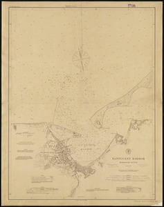
Nantucket Harbor, Massachusetts
‹ Prev
Next ›
1
2
…
246
247
248
249
250
251
252
253
254
…
438
439