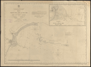
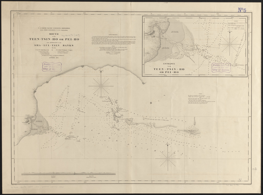
Mouth of the Teen-tsin-ho or Pei-ho and approach to the Sha-lui-tien banks
Item Information
- Title:
- Mouth of the Teen-tsin-ho or Pei-ho and approach to the Sha-lui-tien banks
- Issuing body:
- United States. Hydrographic Office
- Draftsman:
- Mahon, Charles
- Engraver:
- Sherman, George E., 1810 or 1811-
- Surveyor:
- United States North Pacific Exploring Expedition (1853-1856)
- Name on Item:
-
by the U.S.S. Hancock & U.S. Schr. Fenimore Cooper ; drawn by C. Mahon ; eng. by Geo. E. Sherman
- Date:
-
1887
- Format:
-
Maps/Atlases
- Location:
-
Boston Public Library
Norman B. Leventhal Map & Education Center - Collection (local):
-
Norman B. Leventhal Map & Education Center Collection
- Subjects:
-
Nautical charts--China--Bo Hai
Bo Hai (China)--Maps
Hai River (China)--Maps
- Places:
-
ChinaPeiko River
Bo Hai
- Extent:
- 1 map ; 50 x 68 cm
- Terms of Use:
-
No known copyright restrictions.
No known restrictions on use.
- Publisher:
-
Washington, D.C. :
Hydrographic Office
- Edition:
- Edition of May 1886
- Scale:
-
Scale approximately 1:150,000
- Language:
-
English
- Notes:
-
Depths shown by soundings.
Inset: Entrance to the Teen-tsin-ho or Pei-ho.
Includes sailing directions, notes and view of the approach to the Hai River.
"U.S. North Pacific Surveying Expedition. Lieut. John Rodgers, U.S.N. Commanding"--At head of title.
"Cor. 1883.33.)(1887.15.18."--Lower left.
- Identifier:
-
06_01_015921
- Call #:
-
G7822.B6P5 1854 .U55
- Barcode:
-
39999085941993