Search Constraints
Search Results


3427. Map of Boston for 1874

3428. Map of Boston, for 1874

3429. Map of Boston, for 1875

3430. Map of Boston, for 1876

3431. Map of Boston, for 1877

3432. Map of Boston, for 1878

3433. Map of Boston, for 1879

3434. Map of Boston for 1880

3435. Map of Boston, for 1881

3436. Map of Boston, for 1881

3437. Map of Boston, for 1882
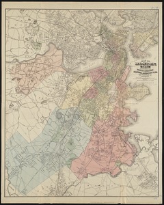
3438. Map of Boston, for 1883
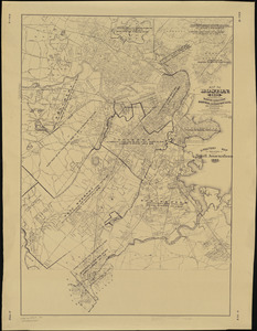
3439. Map of Boston, for 1883
