Toggle navigation
LMEC Home
Exhibitions
Georeferencing
Tools for Teachers
Collections
My Favorites
Sign Up / Log In
Search
Search the map portal
Map Collection
Map Collection
Map Sets
Search
Search
Search for
Search In
All Fields
Creator
Title
Subject
Place
Search All Digital Collections
Advanced Search
8755 Results
My Search
Start Over
More Like
commonwealth:3f462v81z
Remove constraint More Like: commonwealth:3f462v81z
Filter your Search
Place
North and Central America
5,986
United States
4,904
Massachusetts
2,083
Europe
1,396
Suffolk (county)
1,046
Boston
1,019
Canada
458
Asia
438
more
Place
»
Topic
Boston (Mass.)--Maps
586
United States--Maps
282
Real property--Massachusetts--Boston--Maps
175
Massachusetts--Maps
162
Landowners--Massachusetts--Boston--Maps
133
North America--Maps--Early works to 1800
106
New England--Maps
102
New England--Maps--Early works to 1800
97
more
Topic
»
Date
Date range begin
–
Date range end
Current results range from
1482
to
2023
View distribution
Creator
United States. Hydrographic Office
595
O.H. Bailey & Co
148
Des Barres, Joseph F. W. (Joseph Frederick Wallet), 1722-1824
123
United States. Post Office Dept
120
Ptolemy, 2nd cent
100
Walling, Henry Francis, 1825-1888
94
Jefferys, Thomas, -1771
88
Geological Survey (U.S.)
86
more
Creator
»
Format
Maps/Atlases
8,695
Manuscripts
216
Prints
56
Books
36
Objects/Artifacts
10
Drawings/Illustrations
8
Posters
5
Georeferenced
Yes
874
No
7,881
Collection
Norman B. Leventhal Map & Education Center Collection
8,719
Boston and New England Maps
2,242
Urban Maps
2,023
Maritime Charts and Atlases
1,086
American Revolutionary War-Era Maps
646
Boston Redevelopment Authority Collection
87
Mapping Boston Collection
23
Sidney R. Knafel Map Collection at Phillips Academy
15
more
Collection
»
Available to use
No known restrictions
8,555
Creative Commons license
82
Search Constraints
Sort by relevance
relevance
title
date (asc)
date (desc)
Number of results to display per page
20 per page
10
per page
20
per page
50
per page
100
per page
View results as:
grid view
map view
Search Results
3501.
Map of Boston (as it should be) and the country adjacent, with proposed harbor improvements, etc
3502.
Map of Boston boundary line changes
3503.
Map of Boston Common : with surrounding streets & adjacent parts of Beacon Hill
3504.
Map of Boston Common and Public Garden
3505.
Map of Boston, comprising the whole city, with the new boundaries of the wards
3506.
A map of Boston, county of Suffolk and the adjacent towns
3507.
Map of Boston for 1874
3508.
Map of Boston, for 1874
3509.
Map of Boston, for 1875
3510.
Map of Boston, for 1876
3511.
Map of Boston, for 1877
3512.
Map of Boston, for 1878
3513.
Map of Boston, for 1879
3514.
Map of Boston for 1880
3515.
Map of Boston, for 1881
3516.
Map of Boston, for 1881
3517.
Map of Boston, for 1882
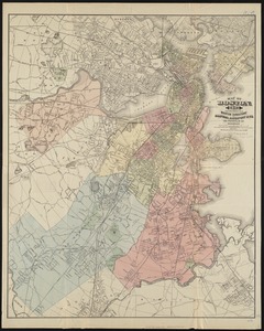
3518.
Map of Boston, for 1883
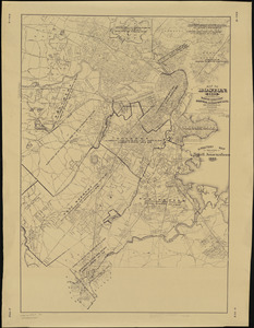
3519.
Map of Boston, for 1883
3520.
Map of Boston, for 1884
‹ Prev
Next ›
1
2
…
172
173
174
175
176
177
178
179
180
…
437
438