Toggle navigation
LMEC Home
Exhibitions
Georeferencing
Tools for Teachers
Collections
My Favorites
Sign Up / Log In
Search
Search the map portal
Map Collection
Map Collection
Map Sets
Search
Search
Search for
Search In
All Fields
Creator
Title
Subject
Place
Search All Digital Collections
Advanced Search
311 Results
My Search
Start Over
More Like
commonwealth:3f462v674
Remove constraint More Like: commonwealth:3f462v674
Filter your Search
Place
North America
170
North and Central America
141
United States
103
Boston
44
Suffolk (county)
43
New England
34
Boston Harbor
29
Canada
22
more
Place
»
Topic
North America--Maps--Early works to 1800
180
New England--Maps--Early works to 1800
27
Boston (Mass.)--Maps
20
World maps--Early works to 1800
19
Boston (Mass.)--History--Revolution, 1775-1783--Maps--Early works to 1800
16
Great Britain--Colonies--America--Maps--Early works to 1800
15
United States--Maps--Early works to 1800
14
Boston Harbor (Mass.)--Maps--Early works to 1800
13
more
Topic
»
Date
Date range begin
–
Date range end
Current results range from
1493
to
1927
View distribution
Creator
Mitchell, John, 1711-1768
13
Jefferys, Thomas, -1771
11
Moll, Herman, d. 1732
11
Sayer, Robert, 1725-1794
10
Anville, Jean Baptiste Bourguignon d', 1697-1782
8
Page, Thomas Hyde, Sir, 1746-1821
7
Bellin, Jacques Nicolas, 1703-1772
6
United States Coast Survey
6
more
Creator
»
Format
Maps/Atlases
310
Manuscripts
2
Prints
1
Georeferenced
Yes
30
No
281
Collection
Norman B. Leventhal Map Center Collection
242
American Revolutionary War-Era Maps
151
Mapping Boston Collection
139
Boston and New England Maps
75
New York Public Library Collection
32
Maritime Charts and Atlases
28
Urban Maps
23
Richard H. Brown Revolutionary War Map Collection at Mount Vernon
18
more
Collection
»
Available to use
Creative Commons license
192
No known restrictions
108
Search Constraints
Sort by date (desc)
relevance
title
date (asc)
date (desc)
Number of results to display per page
20 per page
10
per page
20
per page
50
per page
100
per page
View results as:
grid view
map view
Search Results
61.
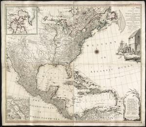
North America drawn from the latest and best authorities
62.
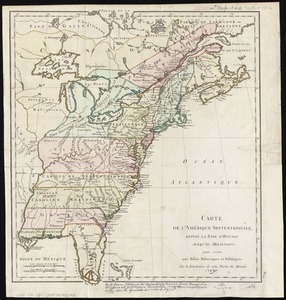
Amérique Septentrionale dressée sur les relations les plus modernes des voyageurs et navigateurs, ou se remarquent les Etats...
63.
An accurate map of the four New England states : shewing in a distinct manner all the mountains, forts, rivers, swamps,...
64.
America settentrionale divisa ne' suoi principali stati
65.
Bowles's new and accurate map of North America and the West Indies : exhibiting the extent and boundaries of the United States,...
66.
A new and correct map of North America, with the West India Islands : divided according to the last Treaty of Peace, concluded...
67.
A new and correct map of North America, with the West India Islands : divided according to the last Treaty of Peace, concluded...
68.
L'Amerique divisée en septentrionale et méridionale, subdivisée en ses principales parties, dressée sur les relations les...
69.
Amerique Septentrionale divisée en ses principales parties, ou sont distingués les vns des autres les estats suivant qu'il...
70.
L'Amerique Septentrionale, ou se remarquent les Etats Unis
71.
BOWLES'S NEW POCKET MAP OF THE UNITED STATES OF AMERICA : WITH THE BRITISH POSSESSIONS OF CANADA, NOVA SCOTIA, AND OF...
72.
A new and correct map of North America, with the West India islands, divided according to the preliminary articles of peace,...
73.
A New map of North America with the West India Islands : divided according to the preliminary articles of peace, signed at...
74.
Carte de l'Amérique septentrionale, depuis la baye d'Hudson jusqu'au Mississipi : pour servir aux essais historiques et...
75.
Carte de la partie nord, des Etats Unis, de l'Amérique Septentrionale
76.
A chart of the harbour of Boston
77.
The coast of New England
78.
A new map of the British colonies in North America, shewing the seat of the present war, taken from the best surveys, compared...
79.
Amérique septentrionale
80.
Boston
‹ Prev
Next ›
1
2
3
4
5
6
7
8
…
15
16