Toggle navigation
LMEC Home
Exhibitions
Georeferencing
Tools for Teachers
Collections
My Favorites
Sign Up / Log In
Search
Search the map portal
Map Collection
Map Collection
Map Sets
Search
Search
Search for
Search In
All Fields
Creator
Title
Subject
Place
Search All Digital Collections
Advanced Search
8251 Results
My Search
Start Over
More Like
commonwealth:3f462s48h
Remove constraint More Like: commonwealth:3f462s48h
Filter your Search
Place
North and Central America
4,928
United States
3,613
Suffolk (county)
1,026
Boston
999
Europe
963
Canada
432
North America
304
France
269
more
Place
»
Topic
Boston (Mass.)--Maps
574
United States--Maps
270
North America--Maps--Early works to 1800
180
Real property--Massachusetts--Boston--Maps
174
Massachusetts--Maps
160
Landowners--Massachusetts--Boston--Maps
132
New England--Maps
99
Europe--Maps
78
more
Topic
»
Date
Date range begin
–
Date range end
Current results range from
1482
to
2023
View distribution
Creator
United States. Hydrographic Office
357
O.H. Bailey & Co
148
Des Barres, Joseph F. W. (Joseph Frederick Wallet), 1722-1824
123
United States. Post Office Dept
120
Ptolemy, 2nd cent
100
Walling, Henry Francis, 1825-1888
94
Jefferys, Thomas, -1771
91
Sayer, Robert, 1725-1794
84
more
Creator
»
Format
Maps/Atlases
8,192
Manuscripts
217
Prints
51
Books
36
Objects/Artifacts
10
Drawings/Illustrations
8
Posters
4
Georeferenced
Yes
872
No
7,379
Collection
Norman B. Leventhal Map Center Collection
8,173
Boston and New England Maps
2,185
Urban Maps
1,925
Maritime Charts and Atlases
750
American Revolutionary War-Era Maps
683
Boston Redevelopment Authority Collection
86
New York Public Library Collection
33
Richard H. Brown Revolutionary War Map Collection at Mount Vernon
21
more
Collection
»
Available to use
No known restrictions
8,024
Creative Commons license
116
Search Constraints
Sort by relevance
relevance
title
date (asc)
date (desc)
Number of results to display per page
20 per page
10
per page
20
per page
50
per page
100
per page
View results as:
grid view
map view
Search Results
21.
Americae pars meridionalis
22.
Americae pars meridionalis
23.
L'Amerique meridionale
24.
L'Amerique Meridionale : dressée sur les observations de Mrs. de L'Academie Royale des Sciences & quelques autres, & sur les...
25.
L'Amerique Meridionale divisée en ses principales parties
26.
Amerique meridionale divisée en ses principales parties ou sont distingués les vns des autres les estats suivant qu'ils...
27.
L'Amerique meridionale divisée en ses principaux etats
28.
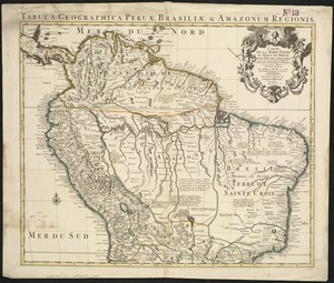
Carte de la Terre Ferme, du Perou, du Bresil et du Pays des Amazones : dressée sur les descriptions de Herrera, de Laet, et...
29.
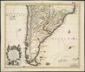
Carte du Paraguay, du Chili, du Detroit de Magellan &c
30.
Chart of South America, comprehending the West Indies, with the adjacent islands, in the Southern Ocean, and South Sea
31.
A chart of the sea coast of Brazil from Cape St. Augustine to the straights of Magellan, & in the South Sea, from the latitud...
32.
Corso del fiume dell Amazon
33.
Guiana sive Amazonum regio
34.
A map of Chili, Patagonia, La Plata and ye south part of Brasil
35.
A map of South America with all the European settlements & whatever else is remarkable, from the latest & best observations
36.
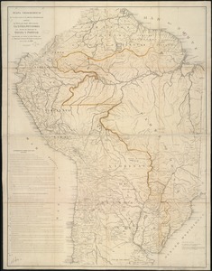
A map of Terra Firma Peru, Amazone-land, Brasil & the north p[art] of La Plata
37.
Mapa geográfico de América Meridional
38.
Mapa geográfico de la mayor parte de la América Meridional que contiene los paises por donde debe trazarse la línia...
39.
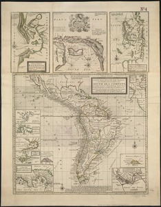
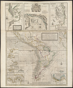
A new & exact map of the coast, countries and islands within ye limits of ye South Sea Company, from ye river Aranoca to Terra...
40.
A new & exact map of the coast, countries and islands within ye limits of ye South Sea Company, from ye river Aranoca to Terra...
‹ Prev
Next ›
1
2
3
4
5
6
…
412
413


![A map of Terra Firma Peru, Amazone-land, Brasil & the north p[art] of La Plata](https://bpldcassets.blob.core.windows.net/derivatives/images/commonwealth:xg94j123n/image_thumbnail_300.jpg)