Toggle navigation
LMEC Home
Exhibitions
Georeferencing
Tools for Teachers
Collections
My Favorites
Sign Up / Log In
Search
Search the map portal
Map Collection
Map Collection
Map Sets
Search
Search
Search for
Search In
All Fields
Creator
Title
Subject
Place
Search All Digital Collections
Advanced Search
57 Results
My Search
Start Over
More Like
commonwealth:2j62w4435
Remove constraint More Like: commonwealth:2j62w4435
Filter your Search
Place
Canada
40
North and Central America
40
New France
24
Saint Lawrence River
13
Quebec
8
Québec
8
Nova Scotia
7
Louisbourg
6
more
Place
»
Topic
New France--Maps
24
Seven Years' War, 1756-1763--Campaigns--Canada--Maps
20
Saint Lawrence River--Maps
14
Canada--Maps--Early works to 1800
8
Fortification--Québec (Province)
8
Québec (Québec)--Maps
7
Louisbourg (N.S.)--History--Siege, 1758--Maps
6
Seigneuries--Québec (Province)--Maps
6
more
Topic
»
Date
Date range begin
–
Date range end
Current results range from
1752
to
1817
View distribution
Creator
Bellin, Jacques Nicolas, 1703-1772
8
Mackellar, Patrick, 1717-1778
7
Holland, Samuel, 1728-1801
5
Montrésor, John, 1736-1799
4
Collins, John, -1795
3
Duberger, Jean-Baptiste, 1767-1821
3
Gale, Samuel, 1747-1826
3
Sproule, Geo. F. (George F.), 1741-1817
3
more
Creator
»
Format
Maps/Atlases
57
Georeferenced
No
57
Collection
American Revolutionary War-Era Maps
57
Library and Archives Canada Collection
52
William L. Clements Library Collection
5
Search Constraints
Sort by relevance
relevance
title
date (asc)
date (desc)
Number of results to display per page
20 per page
10
per page
20
per page
50
per page
100
per page
View results as:
grid view
map view
Search Results
1.
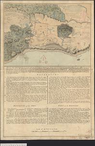
Plan of the siege of Louisbourg in 1758, carry'd on by the British army commanded by His Excellency Major General Amherst, and...
2.
Plan des forts de Chouaguen avec le débarquement, le camp et les attaques de l'armée commandée par Mr le Marquis de Montcalm,...
3.
Plan of Canada or the province of Quebec from the uppermost settlements to the island of Coudre as surveyed by order of his...
4.
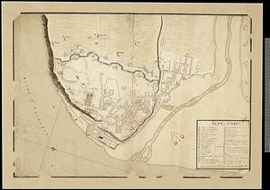
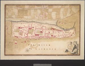
Plan of Quebec
5.
Plan of the battle fought on the 28th of April 1760 upon the height of Abraham near Quebec, between the British troops...
6.
Plan of the river of St. Johns from Fort Frederick in the Bay of Fundy to the river of Medouesqua with the lake of Temescouata...
7.
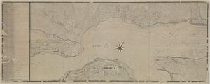
A plan of the River St. Laurence from Green Island to Cape Carrouge
8.
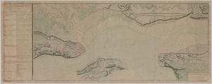
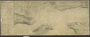
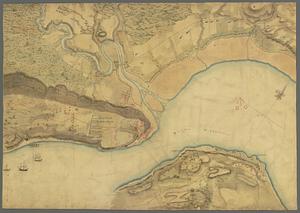
Plan of the river St Lawrence fom the Island of Anticosta to Quebec ... from a manuscript found on board ye Alcide taken June...
9.
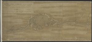
Plan of the town and fortifications of Montreal or Ville Marie in Canada
10.
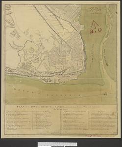
Plan of the town of Quebec the capital of Canada in North America : with the bason and a part of the adjacent country shewing...
11.
Plan of the town of Quebec the capital of Canada in North America : with the bason and a part of the adjacent country shewing...
12.
Plan of the town of Quebec the capital of Canada in North America : with the bason and a part of the adjacent country shewing...
13.
Plan of the town of Quebec the capital of Canada in North America : with the bason and a part of the adjacent country shewing...
14.
Plan of the town of Quebeck in Canada enlarged from Bellin’s plan with additions
15.
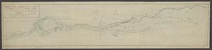
Sketch of the river St Lawrence from Montreal to the island of St Barnaby on the south side, and the islands of Jeremy on the...
16.
Sketch of the river St Lawrence from Montreal to the island of St Barnaby on the south side, and the islands of Jeremy on the...
17.
Sketch of the river St. Lawrence from Montreal to the island St. Barnaby on the south side, and the islands of Jeremy on the...
18.
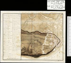
Map of Quebec City with plans of the citadel by Captain Samuel Holland for Report of the government of Quebec and dependencies
19.
[Monongahela] no. 2 : a sketch of the field of battle &c, shewing the disposition of the troops about 2 o'clock when the whole...
20.
Plan of the river St. Lawrence from the Island of Anticosta to Quebec ... from a manuscript found on board of the Alcide taken...
‹ Prev
Next ›
1
2
3
![Plan des forts de Chouaguen avec le débarquement, le camp et les attaques de l'armée commandée par Mr le Marquis de Montcalm, Jean-Nicolas Desandrouins [Oswego]](https://bpldcassets.blob.core.windows.net/derivatives/images/commonwealth:5138nc68v/image_thumbnail_300.jpg)

![[Monongahela] no. 2 : a sketch of the field of battle &c, shewing the disposition of the troops about 2 o'clock when the whole of the main body had joined the advanced and working partys then beat back from the ground they occupied as in plan no. 1](https://bpldcassets.blob.core.windows.net/derivatives/images/commonwealth:j3863670v/image_thumbnail_300.jpg)