Toggle navigation
LMEC Home
Exhibitions
Georeferencing
Tools for Teachers
Collections
My Favorites
Sign Up / Log In
Search
Search the map portal
Map Collection
Map Collection
Map Sets
Search
Search
Search for
Search In
All Fields
Creator
Title
Subject
Place
Search All Digital Collections
Advanced Search
8751 Results
My Search
Start Over
More Like
commonwealth:2514p110z
Remove constraint More Like: commonwealth:2514p110z
Filter your Search
Place
North and Central America
5,927
United States
4,844
Massachusetts
2,079
Europe
1,397
Suffolk (county)
1,046
Boston
1,019
Canada
449
Asia
440
more
Place
»
Topic
Boston (Mass.)--Maps
586
United States--Maps
282
Real property--Massachusetts--Boston--Maps
175
Massachusetts--Maps
162
Landowners--Massachusetts--Boston--Maps
133
North America--Maps--Early works to 1800
104
New England--Maps
102
Europe--Maps
80
more
Topic
»
Date
Date range begin
–
Date range end
Current results range from
1482
to
2023
View distribution
Creator
United States. Hydrographic Office
595
O.H. Bailey & Co
148
Des Barres, Joseph F. W. (Joseph Frederick Wallet), 1722-1824
123
United States. Post Office Dept
120
Ptolemy, 2nd cent
100
Walling, Henry Francis, 1825-1888
94
Geological Survey (U.S.)
86
Jefferys, Thomas, -1771
86
more
Creator
»
Format
Maps/Atlases
8,691
Manuscripts
215
Prints
56
Books
36
Objects/Artifacts
10
Drawings/Illustrations
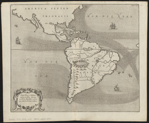
8
Posters
5
Georeferenced
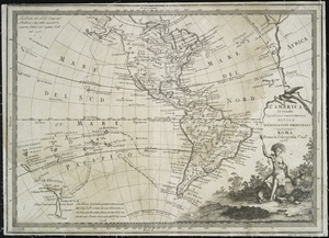
Yes
869
No
7,882
Collection
Norman B. Leventhal Map & Education Center Collection
8,716
Boston and New England Maps
2,233
Urban Maps
2,023
Maritime Charts and Atlases
1,083
American Revolutionary War-Era Maps
629
Boston Redevelopment Authority Collection
87
Sidney R. Knafel Map Collection at Phillips Academy
22
Mapping Boston Collection
21
more
Collection
»
Available to use
No known restrictions
8,553
Creative Commons license
75
Search Constraints
Sort by relevance
relevance
title
date (asc)
date (desc)
Number of results to display per page
20 per page
10
per page
20
per page
50
per page
100
per page
View results as:
grid view
map view
Search Results
101.
The world with all modern discoveries
102.
America : with those known parts in that unknowne worlde both people and manner of buildings discribed and inlarged
103.
Americae nova descriptio
104.
Americae nova tabula
105.
Americae sive Indiae Occidentalis : tabula generalis
106.
La Florida
107.
Mappa fluxus et refluxus rationes in isthmo Americano, in Freto Magellanico, cæterisque Americæ litoribus exhibens
108.
Maris Pacifici (quod vulgo Mar del Zur) cum regionibus circumiacentibus, insulisque in eodem passim sparsis, novissima descriptio
109.
A new map containing the English Empire Golf of Mexico Caribes Islands Granada Guiana Amazone and Peru
110.
Noua et accurata totius Americae tabula
111.
Novissima et accuratissima totius Americae descriptio
112.
Nov[us] orbis sive America septentrionalis, divisa per sua regna provinc. et insul : cura et opera
113.
Oceani occidetalis seu terre nove tabula
114.
Recentissima novi orbis, sive Americae Septentrionalis et Meridionalis tabula
115.
Totius Americae septentrionalis et meridionalis novissima repræsentatio quam ex singulis recantium geographorum tabulis...
116.
L'America secondo leultime osservazioni divisa né suoistati principali
117.
America sive novvs orbis respectv Evropaeorvm inferior globi terrestris pars
118.
Carta marina nova tabula
119.
Circular world map
120.
Die gantze Welt in ein Kleberblat, welches in der Stadt Hannover, meines lieben Vaterlandes Wapen
‹ Prev
Next ›
1
2
3
4
5
6
7
8
9
10
…
437
438


![Nov[us] orbis sive America septentrionalis, divisa per sua regna provinc. et insul](https://bpldcassets.blob.core.windows.net/derivatives/images/commonwealth:wd376505f/image_thumbnail_300.jpg)