Toggle navigation
LMEC Home
Exhibitions
Georeferencing
Tools for Teachers
Collections
My Favorites
Sign Up / Log In
Search
Search the map portal
Map Collection
Map Collection
Map Sets
Search
Search
Search for
Search In
All Fields
Creator
Title
Subject
Place
Search All Digital Collections
Advanced Search
8931 Results
My Search
Start Over
More Like
commonwealth:1257c311p
Remove constraint More Like: commonwealth:1257c311p
Filter your Search
Place
North and Central America
6,162
United States
5,078
Massachusetts
2,150
Europe
1,396
Suffolk (county)
1,277
Boston
1,250
Canada
449
Asia
438
more
Place
»
Topic
Boston (Mass.)--Maps
753
United States--Maps
282
Real property--Massachusetts--Boston--Maps
254
City planning--Massachusetts--Boston--Maps
196
Landowners--Massachusetts--Boston--Maps
170
Massachusetts--Maps
166
New England--Maps
104
North America--Maps--Early works to 1800
103
more
Topic
»
Date
Date range begin
–
Date range end
Current results range from
1482
to
2023
View distribution
Creator
United States. Hydrographic Office
595
Boston Redevelopment Authority
202
O.H. Bailey & Co
148
Des Barres, Joseph F. W. (Joseph Frederick Wallet), 1722-1824
124
United States. Post Office Dept
120
Ptolemy, 2nd cent
100
Walling, Henry Francis, 1825-1888
94
Geological Survey (U.S.)
87
more
Creator
»
Format
Maps/Atlases
8,871
Manuscripts
215
Prints
56
Books
36
Objects/Artifacts
10
Drawings/Illustrations
8
Posters
5
Georeferenced
Yes
885
No
8,046
Collection
Norman B. Leventhal Map & Education Center Collection
8,725
Boston and New England Maps
2,401
Urban Maps
2,185
Maritime Charts and Atlases
1,083
American Revolutionary War-Era Maps
638
Boston Redevelopment Authority Collection
233
Massachusetts Real Estate Atlases
38
Mapping Boston Collection
20
more
Collection
»
Available to use
No known restrictions
8,708
Creative Commons license
70
Search Constraints
Sort by relevance
relevance
title
date (asc)
date (desc)
Number of results to display per page
20 per page
10
per page
20
per page
50
per page
100
per page
View results as:
grid view
map view
Search Results
4601.
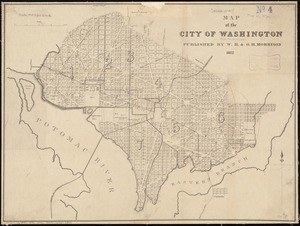
Map of the city of Washington
4602.
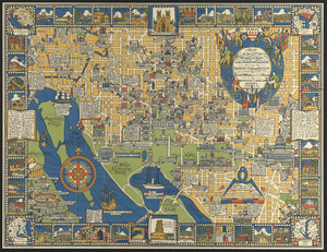
Map of the city of Washington in the District of Columbia shewing the architectvre and history from the most ancient times down...
4603.
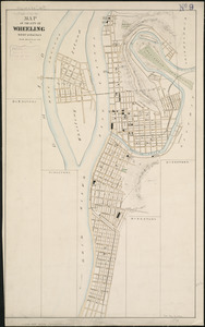
Map of the city of Wheeling, West Virginia
4604.
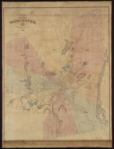
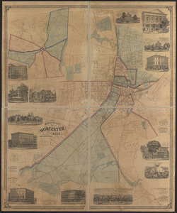
Map of the city of Worcester
4605.
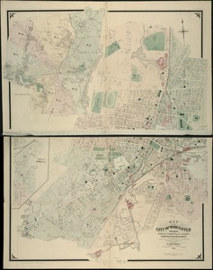
Map of the city of Worcester, Mass.
4606.
Map of the city of Worcester, Mass
4607.
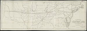
Map of the Clinton Line Railroad and its connections
4608.
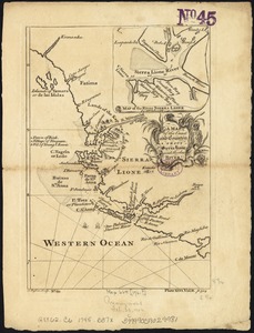
A map of the coast and country about Sierra Lione and Sherbro River
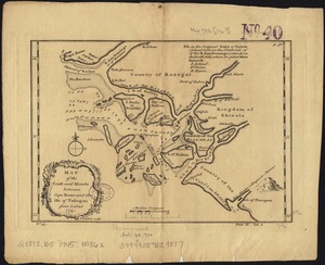
4609.
Map of the coast and islands between Cape Roxo and the Isle of Tassagan
4610.
A map of the colonies of Connecticut and Rhode Island, divided into counties & townships, from the best authorities
4611.
A map of the colony of Rhode Island : with the adjacent parts of Connecticut, Massachusetts Bay, &c
4612.
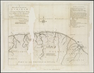
A Map of the Colony of Surinam : to the Right Honble. George Dunk Montague, Earl of Halifax, one of His Majesty's principal...
4613.
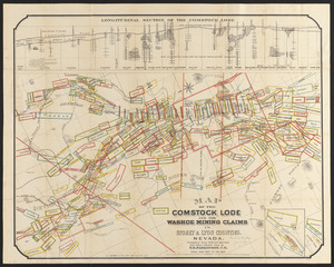
Map of the Comstock Lode and the Washoe mining claims in Storey & Lyon counties, Nevada
4614.
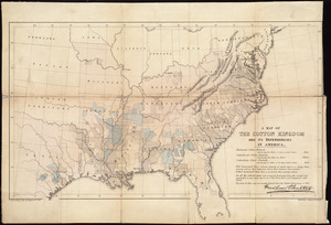
A map of the cotton kingdom and its dependencies in America
4615.
Map of the counties of Barnstable, Dukes and Nantucket, Massachusetts : based upon the trigonometrical survey of the state
4616.
Map of the counties of Chenango and Cortland, New York : from actual surveys
4617.
Map of the counties of Eaton and Barry, Michigan
4618.
Map of the counties of Franklin and Grand Isle, Vermont : from actual surveys
4619.
Map of the counties of Lanark and Renfrew, Canada West : from actual surveys under the direction of H.F. Walling
4620.
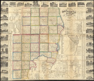
Map of the counties of Macomb & St. Clair, Michigan
‹ Prev
Next ›
1
2
…
227
228
229
230
231
232
233
234
235
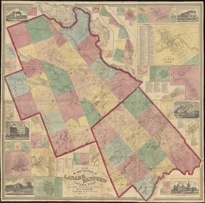
…
446
447