Toggle navigation
LMEC Home
Exhibitions
Georeferencing
Tools for Teachers
Collections
My Favorites
Sign Up / Log In
Search
Search the map portal
Map Collection
Map Collection
Map Sets
Search
Search
Search for
Search In
All Fields
Creator
Title
Subject
Place
Search All Digital Collections
Advanced Search
8893 Results
My Search
Start Over
More Like
commonwealth:1257c085v
Remove constraint More Like: commonwealth:1257c085v
Filter your Search
Place
North and Central America
6,137
United States
5,055
Massachusetts
2,152
Europe
1,388
Suffolk (county)
1,289
Boston
1,262
Canada
449
Asia
436
more
Place
»
Topic
Boston (Mass.)--Maps
747
United States--Maps
279
Real property--Massachusetts--Boston--Maps
254
City planning--Massachusetts--Boston--Maps
211
Landowners--Massachusetts--Boston--Maps
170
Massachusetts--Maps
165
Urban renewal--Massachusetts--Boston--Maps
118
New England--Maps
103
more
Topic
»
Date
Date range begin
–
Date range end
Current results range from
1482
to
2023
View distribution
Creator
United States. Hydrographic Office
595
Boston Redevelopment Authority
216
O.H. Bailey & Co
148
Des Barres, Joseph F. W. (Joseph Frederick Wallet), 1722-1824
124
United States. Post Office Dept
120
Ptolemy, 2nd cent
100
Walling, Henry Francis, 1825-1888
94
Geological Survey (U.S.)
87
more
Creator
»
Format
Maps/Atlases
8,833
Manuscripts
215
Prints
56
Books
36
Objects/Artifacts
10
Drawings/Illustrations
9
Posters
4
Georeferenced
Yes
885
No
8,008
Collection
Norman B. Leventhal Map & Education Center Collection
8,669
Boston and New England Maps
2,403
Urban Maps
2,162
Maritime Charts and Atlases
1,083
American Revolutionary War-Era Maps
642
Boston Redevelopment Authority Collection
248
Massachusetts Real Estate Atlases
38
Mapping Boston Collection
21
more
Collection
»
Available to use
No known restrictions
8,666
Creative Commons license
71
Search Constraints
Sort by relevance
relevance
title
date (asc)
date (desc)
Number of results to display per page
20 per page
10
per page
20
per page
50
per page
100
per page
View results as:
grid view
map view
Search Results
3161.
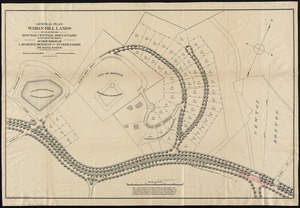
General plan Waban Hill lands on and near Newton Central Boulevard (eastern division) : subdivision of Lawrence, Bennett and...
3162.
General railway map engraved expressly for the Official guide of the railways and steam navigation lines of the United States,...
3163.
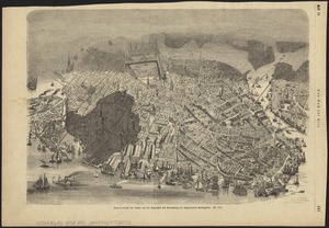
General unsicht von Boston and der Bogelschau mit Bezeichnung des abgebrannten Stadttheiles : = Bird's eye view of Boston,...
3164.
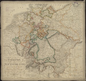
General-Charte von Teutschland nach den besten Quellen bearbeitet und den neuesten politischen Veraenderungen begrenzt
3165.
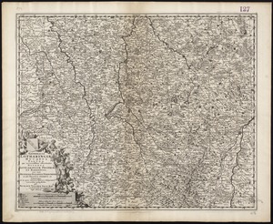
Generalis Lotharingiae Ducatus Tabula, qua accuratissime oftenduntur Ducatus Lotharingiae Propriae et Barrensis nec non...
3166.
Generalkarte von Nord America samt den Westindischen inseln
3167.
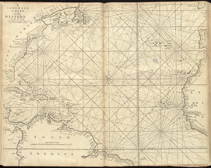
A generall chart of the western ocean
3168.
A generall mapp of the continent and islands which bee adjacent to Jamaica : A new mapp of the Island of Jamaica
3169.
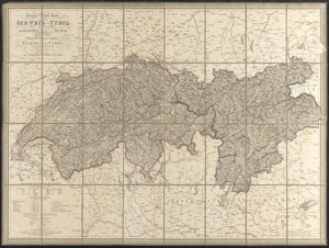
General-reise-karte von der Schweiz und Tyrol mit Vorarlberg und einem beträchtlichen theile der angränzenden länder,...
3170.
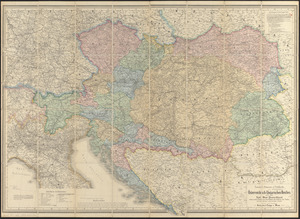
General-strassen & ortskarte des Österreichisch-Ungarischen Reiches nebst ganz süd-west-Deutschland einem grossen theile von...
3171.
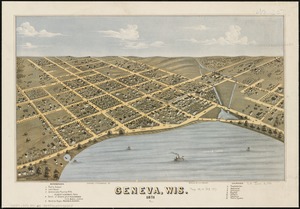
Geneva, Wis : 1871
3172.
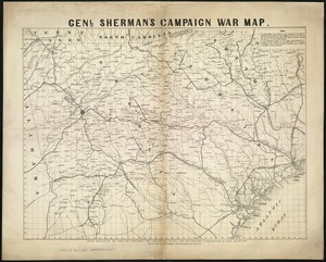
Genl. Sherman's campaign war map
3173.
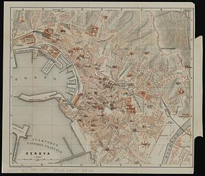
Genova
3174.
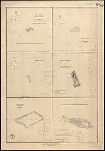
Gente Hermosa or Swains Island ; Jarvis' Island ; Birnies Island, Phœnix Group ; Enderbury' Island, Phœnix Group ; Hull's...
3175.
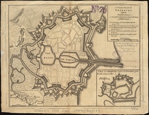
A genuine plan of Cherburg with the fortifications : as intended to be finished according to the design of Mr. De Caux
3176.
Geognostische karte der umgebungen von Krems und vom Manhardsberge : jm flächenraume von 34 quadrat meilen
3177.
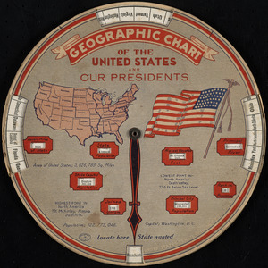
Geographic chart of the United States and our presidents
3178.
Geographical, statistical, and historical map of Rhode Island
3179.
Geographical, topographical, state highway and railroad map of California
3180.
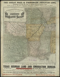
A geographically correct county map of states traversed by the St. Louis, Iron Mountain and Southern Railway, and its connections
‹ Prev
Next ›
1
2
…
155
156
157
158
159
160
161
162
163
…
444
445