Toggle navigation
LMEC Home
Exhibitions
Georeferencing
Tools for Teachers
Collections
My Favorites
Sign Up / Log In
Search
Search the map portal
Map Collection
Map Collection
Map Sets
Search
Search
Search for
Search In
All Fields
Creator
Title
Subject
Place
Search All Digital Collections
Advanced Search
8921 Results
My Search
Start Over
More Like
commonwealth:1257bv910
Remove constraint More Like: commonwealth:1257bv910
Filter your Search
Place
North and Central America
6,152
United States
5,068
Massachusetts
2,145
Europe
1,396
Suffolk (county)
1,267
Boston
1,240
Canada
449
Asia
438
more
Place
»
Topic
Boston (Mass.)--Maps
753
United States--Maps
282
Real property--Massachusetts--Boston--Maps
254
City planning--Massachusetts--Boston--Maps
187
Landowners--Massachusetts--Boston--Maps
170
Massachusetts--Maps
166
New England--Maps
104
North America--Maps--Early works to 1800
103
more
Topic
»
Date
Date range begin
–
Date range end
Current results range from
1482
to
2023
View distribution
Creator
United States. Hydrographic Office
595
Boston Redevelopment Authority
192
O.H. Bailey & Co
148
Des Barres, Joseph F. W. (Joseph Frederick Wallet), 1722-1824
124
United States. Post Office Dept
120
Ptolemy, 2nd cent
100
Walling, Henry Francis, 1825-1888
94
Geological Survey (U.S.)
87
more
Creator
»
Format
Maps/Atlases
8,861
Manuscripts
215
Prints
56
Books
36
Objects/Artifacts
10
Drawings/Illustrations
8
Posters
5
Georeferenced
Yes
885
No
8,036
Collection
Norman B. Leventhal Map & Education Center Collection
8,725
Boston and New England Maps
2,391
Urban Maps
2,175
Maritime Charts and Atlases
1,083
American Revolutionary War-Era Maps
638
Boston Redevelopment Authority Collection
223
Massachusetts Real Estate Atlases
38
Mapping Boston Collection
20
more
Collection
»
Available to use
No known restrictions
8,698
Creative Commons license
70
Search Constraints
Sort by relevance
relevance
title
date (asc)
date (desc)
Number of results to display per page
20 per page
10
per page
20
per page
50
per page
100
per page
View results as:
grid view
map view
Search Results
4161.
Map of De Kalb County, Illinois
4162.
Map of Delaware County, New York
4163.
Map of Denison, Crawford County, Iowa
4164.
Map of Doobaunt and Kazan Rivers and northwest coast of Hudson Bay
4165.
Map of Dorchester
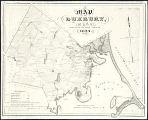
4166.
Map of Duxbury, Mass
4167.
A map of East and West Florida, Georgia, and Louisiana, with the islands of Cuba, Bahama, and the countries surrounding the...
4168.
Map of East Bridgewater, Mass
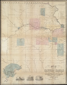
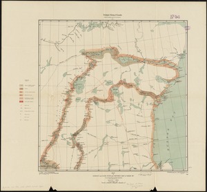
4169.
Map of Eastern Kansas
4170.
[Map of eastern Massachusetts and vicinity]
4171.
Map of eastern Virginia
4172.
Map of eastern Virginia
4173.
[Map of Ecuador]
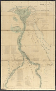
4174.
Map of Egypt
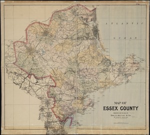
4175.
Map of Essex County
4176.
Map of Europe : drawn from all the best surveys and rectified by astronomical observations
4177.
Map of Europe : compiled from the latest authorities
4178.
The map of Europe
4179.
A map of Europe, and the countries bordering on the Mediterranean & Black Seas, from the latest authorities
4180.
Map of Europe showing countries as established by the Peace Conference at Paris
‹ Prev
Next ›
1
2
…
205
206
207
208
209
210
211
212
213
…
446
447