Toggle navigation
LMEC Home
Exhibitions
Georeferencing
Tools for Teachers
Collections
My Favorites
Sign Up / Log In
Search
Search the map portal
Map Collection
Map Collection
Map Sets
Search
Search
Search for
Search In
All Fields
Creator
Title
Subject
Place
Search All Digital Collections
Advanced Search
8950 Results
My Search
Start Over
More Like
commonwealth:1257bt93b
Remove constraint More Like: commonwealth:1257bt93b
Filter your Search
Place
North and Central America
6,181
United States
5,097
Massachusetts
2,174
Europe
1,396
Suffolk (county)
1,296
Boston
1,269
Canada
449
Asia
438
more
Place
»
Topic
Boston (Mass.)--Maps
753
United States--Maps
282
Real property--Massachusetts--Boston--Maps
254
City planning--Massachusetts--Boston--Maps
212
Landowners--Massachusetts--Boston--Maps
170
Massachusetts--Maps
166
Urban renewal--Massachusetts--Boston--Maps
118
New England--Maps
104
more
Topic
»
Date
Date range begin
–
Date range end
Current results range from
1482
to
2023
View distribution
Creator
United States. Hydrographic Office
595
Boston Redevelopment Authority
216
O.H. Bailey & Co
148
Des Barres, Joseph F. W. (Joseph Frederick Wallet), 1722-1824
124
United States. Post Office Dept
120
Ptolemy, 2nd cent
100
Walling, Henry Francis, 1825-1888
94
Geological Survey (U.S.)
87
more
Creator
»
Format
Maps/Atlases
8,889
Manuscripts
215
Prints
56
Books
36
Objects/Artifacts
10
Drawings/Illustrations
9
Posters
5
Georeferenced
Yes
885
No
8,065
Collection
Norman B. Leventhal Map & Education Center Collection
8,726
Boston and New England Maps
2,417
Urban Maps
2,200
Maritime Charts and Atlases
1,083
American Revolutionary War-Era Maps
642
Boston Redevelopment Authority Collection
248
Massachusetts Real Estate Atlases
38
Mapping Boston Collection
21
more
Collection
»
Available to use
No known restrictions
8,723
Creative Commons license
71
Search Constraints
Sort by relevance
relevance
title
date (asc)
date (desc)
Number of results to display per page
20 per page
10
per page
20
per page
50
per page
100
per page
View results as:
grid view
map view
Search Results
6221.
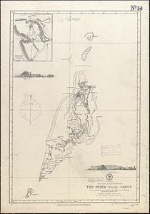
Pacific Ocean, western Caroline Islands, the Pelew (Palau) Group : from a reconnaissance by the officers of the Imp. German...
6222.
Païs cedés, sheet IId, containing the Peninsula & Gulf of Florida, with the Bahama Islands
6223.
Païs cedés, sheet Ist, containing the coast of Louisiana and Florida
6224.
Palatinatus ad Rhenum
6225.
[Palestina]
6226.
Palestine
6227.
Palestine or Canaan
6228.
Palmer
6229.
Pampanga
6230.
Panama route, map showing location of proposed canal
6231.
Panay, military district no 4, Department of the Visayas
6232.
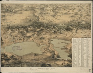
Panorama de Mexico a puebla, con todos los caminos, rios, poblaciones y montes
6233.
Panorama from the Pinnacle ("Acorn Hill," 1371'), Lyme, N.H.
6234.
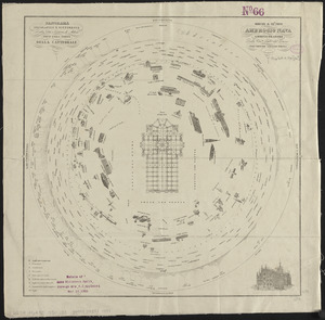
Panorama orografico e pittoresco della città e contorni di Milano preso dalla somità della cattedrale
6235.
Panoramic view from Bunker Hill Monument
6236.
Panoramic view from Strawberry Hill, one of the St. Andrews Mountains, Jamaica
6237.
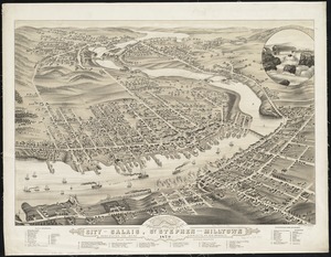
Panoramic view of the city of Calais, St. Stephen and Milltown : Washington Co. Maine, Charlotte Co. New Brunswick : mills,...
6238.
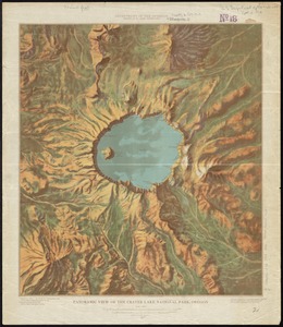
Panoramic view of the Crater Lake National Park, Oregon
6239.
[Panoramic view of the Gettysburg battlefield]
6240.
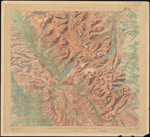
Panoramic view of the Glacier National Park, Montana
‹ Prev
Next ›
1
2
…
308
309
310
311
312
313
314
315
316
…
447
448


![[Palestina]](https://bpldcassets.blob.core.windows.net/derivatives/images/commonwealth:7h14b116r/image_thumbnail_300.jpg)


![[Panoramic view of the Gettysburg battlefield]](https://bpldcassets.blob.core.windows.net/derivatives/images/commonwealth:xg94j2023/image_thumbnail_300.jpg)