Toggle navigation
LMEC Home
Exhibitions
Georeferencing
Tools for Teachers
Collections
My Favorites
Sign Up / Log In
Search
Search the map portal
Map Collection
Map Collection
Map Sets
Search
Search
Search for
Search In
All Fields
Creator
Title
Subject
Place
Search All Digital Collections
Advanced Search
8943 Results
My Search
Start Over
More Like
commonwealth:1257bt078
Remove constraint More Like: commonwealth:1257bt078
Filter your Search
Place
North and Central America
6,174
United States
5,090
Massachusetts
2,146
Europe
1,396
Suffolk (county)
1,289
Boston
1,262
Canada
449
Asia
438
more
Place
»
Topic
Boston (Mass.)--Maps
753
United States--Maps
282
Real property--Massachusetts--Boston--Maps
254
City planning--Massachusetts--Boston--Maps
207
Landowners--Massachusetts--Boston--Maps
170
Massachusetts--Maps
166
Urban renewal--Massachusetts--Boston--Maps
114
New England--Maps
104
more
Topic
»
Date
Date range begin
–
Date range end
Current results range from
1482
to
2023
View distribution
Creator
United States. Hydrographic Office
595
Boston Redevelopment Authority
212
O.H. Bailey & Co
148
Des Barres, Joseph F. W. (Joseph Frederick Wallet), 1722-1824
124
United States. Post Office Dept
120
Ptolemy, 2nd cent
100
Walling, Henry Francis, 1825-1888
94
Geological Survey (U.S.)
87
more
Creator
»
Format
Maps/Atlases
8,883
Manuscripts
215
Prints
56
Books
36
Objects/Artifacts
10
Drawings/Illustrations
8
Posters
5
Georeferenced
Yes
885
No
8,058
Collection
Norman B. Leventhal Map & Education Center Collection
8,726
Boston and New England Maps
2,413
Urban Maps
2,196
Maritime Charts and Atlases
1,083
American Revolutionary War-Era Maps
638
Boston Redevelopment Authority Collection
244
Massachusetts Real Estate Atlases
38
Mapping Boston Collection
20
more
Collection
»
Available to use
No known restrictions
8,720
Creative Commons license
70
Search Constraints
Sort by relevance
relevance
title
date (asc)
date (desc)
Number of results to display per page
20 per page
10
per page
20
per page
50
per page
100
per page
View results as:
grid view
map view
Search Results
6901.
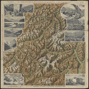
Plastische karte von Landeck, Tirol : ins ortlergebiet Kaunsertaler u. Oetztaleralpen, Silvretta u. Verwaligruppe...
6902.
Plastischer schul-atlas
6903.
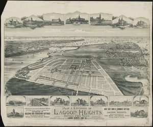
Plat & environs of Lagoon Heights : showing property owned by the Lagoon Heights Land Co
6904.
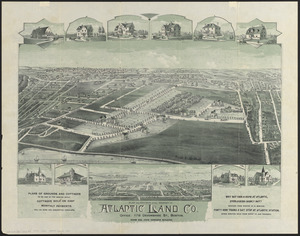
Plat and environs of the property of Atlantic Land Co.
6905.
Plat map for Mount Wollaston Farm, Braintree, Massachusetts-Bay Colony
6906.
Plat of Benton township, Hocking County, Ohio
6907.
A plat of Good Hope township, Hocking County, Ohio
6908.
A plat of Green township, Hocking County, Ohio
6909.
A plat of Starr township Hocking County Ohio
6910.
Plat of the ancient possessions of the upper prairie confirmed by the governors, their continuation from the Elm road to the...
6911.
Plat of the seven ranges of townships being part of the territory of the United States n.w. of the Ohio River which by a late...
6912.
Plat of the town of Logan
6913.
Plat of the United States road from Detroit to Chicago
6914.
A plat of Ward township, Hocking County Ohio
6915.
A plat of Washington Township, Hocking County Ohio
6916.
A plat showing the position of the different townships
6917.
Platte grond der stad Amsterdam
6918.
Plurime Sunt regiones que quidem singule singulis rebus excellere videntur
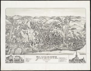
6919.
Plymouth : Pennsylvania
6920.
Plymouth : town of Plymouth
‹ Prev
Next ›
1
2
…
342
343
344
345
346
347
348
349
350
…
447
448