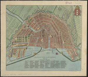
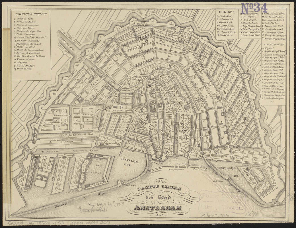
Platte grond der stad Amsterdam
Item Information
- Title:
- Platte grond der stad Amsterdam
- Date:
-
[ca. 1850–1859]
- Format:
-
Maps/Atlases
- Location:
-
Boston Public Library
Norman B. Leventhal Map & Education Center - Collection (local):
-
Norman B. Leventhal Map & Education Center Collection
- Subjects:
-
Amsterdam (Netherlands)--Maps
- Places:
-
NetherlandsNorth Holland (province)Amsterdam
- Extent:
- 1 map ; 25 x 33 cm
- Terms of Use:
-
No known copyright restrictions.
No known restrictions on use.
- Publisher:
-
[Place of publication not identified] :
[publisher not identified]
- Scale:
-
Scale approximately 1:12,500
- Language:
-
Dutch
French
- Notes:
-
Oriented with north to the lower right.
Includes references to public places and churches.
Map in Dutch. References in French.
- Identifier:
-
06_01_015133
- Call #:
-
G6004.A5 1850z .P53
- Barcode:
-
39999085932091