Toggle navigation
LMEC Home
Exhibitions
Georeferencing
Tools for Teachers
Collections
My Favorites
Sign Up / Log In
Search
Search the map portal
Map Collection
Map Collection
Map Sets
Search
Search
Search for
Search In
All Fields
Creator
Title
Subject
Place
Search All Digital Collections
Advanced Search
8895 Results
My Search
Start Over
More Like
commonwealth:1257bp07f
Remove constraint More Like: commonwealth:1257bp07f
Filter your Search
Place
North and Central America
6,134
United States
5,051
Massachusetts
2,127
Europe
1,392
Suffolk (county)
1,283
Boston
1,256
Canada
449
Asia
437
more
Place
»
Topic
Boston (Mass.)--Maps
748
United States--Maps
279
Real property--Massachusetts--Boston--Maps
254
City planning--Massachusetts--Boston--Maps
208
Landowners--Massachusetts--Boston--Maps
170
Massachusetts--Maps
165
Urban renewal--Massachusetts--Boston--Maps
111
New England--Maps
103
more
Topic
»
Date
Date range begin
–
Date range end
Current results range from
1482
to
2023
View distribution
Creator
United States. Hydrographic Office
595
Boston Redevelopment Authority
209
O.H. Bailey & Co
148
Des Barres, Joseph F. W. (Joseph Frederick Wallet), 1722-1824
124
United States. Post Office Dept
120
Ptolemy, 2nd cent
100
Walling, Henry Francis, 1825-1888
94
Geological Survey (U.S.)
87
more
Creator
»
Format
Maps/Atlases
8,835
Manuscripts
215
Prints
56
Books
36
Objects/Artifacts
10
Drawings/Illustrations
8
Posters
5
Georeferenced
Yes
885
No
8,010
Collection
Norman B. Leventhal Map & Education Center Collection
8,677
Boston and New England Maps
2,400
Urban Maps
2,166
Maritime Charts and Atlases
1,083
American Revolutionary War-Era Maps
637
Boston Redevelopment Authority Collection
245
Massachusetts Real Estate Atlases
38
Mapping Boston Collection
20
more
Collection
»
Available to use
No known restrictions
8,672
Creative Commons license
70
Search Constraints
Sort by relevance
relevance
title
date (asc)
date (desc)
Number of results to display per page
20 per page
10
per page
20
per page
50
per page
100
per page
View results as:
grid view
map view
Search Results
4041.
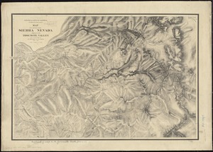
Map of a portion of the Sierra Nevada adjacent to the Yosemite Valley
4042.
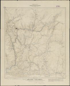
Map of a portion of the southern Interior of British Columbia : embodying the explorations made in 1877 by G.M. Dawson, and in...
4043.
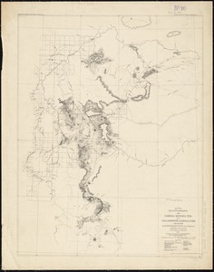
Map of a reconnaissance from Carroll Montana Ter. to the Yellowstone National Park and return by Captain William Ludlow, Corps...
4044.
Map of a tour from Independence to Santa Fé, Chihuahua, Monterey and Matamoros
4045.
Map of a woman's heart
4046.
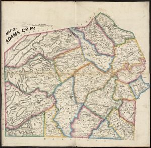
Map of Adams Co., Pa
4047.
Map of Addison County, Vermont
4048.
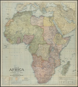
Map of Africa : and adjoining portions of Europe and Asia
4049.
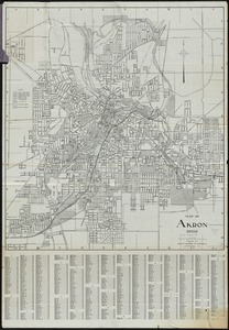
Map of Akron, Ohio : prepared for Akron Chamber of Commerce
4050.
Map of Alabama, showing location of property owned by the Fort Payne Coal & Iron Company
4051.
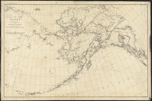
Map of Alaska
4052.
Map of Alaska : showing latest explorations by U.S. Geological Survey and U.S. Coast and Geodetic Survey
4053.
Map of Alaska
4054.
Map of Alaska
4055.
Map of all the railroads in the United States in operation and progress
4056.
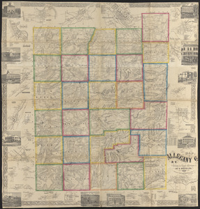
Map of Allegany Co., N.Y : from actual surveys
4057.
A map of America between latitudes 40 and 70 north and longitudes 45 and 180 west, exhibiting Mackenzie's track from Montreal...
4058.
A map of Amherst with a view of the college and Mount Pleasant Institution
4059.
Map of an exploring expedition to the Rocky Mountains in the year 1842 and to Oregon & north California in the years 1843-44
4060.
Map of Anacostia River in the District of Columbia : from survey authorized and directed by Joint Resolution of Cnogress, Apr....
‹ Prev
Next ›
1
2
…
199
200
201
202
203
204
205
206
207
…
444
445