Toggle navigation
LMEC Home
Exhibitions
Georeferencing
Tools for Teachers
Collections
My Favorites
Sign Up / Log In
Search
Search the map portal
Map Collection
Map Collection
Map Sets
Search
Search
Search for
Search In
All Fields
Creator
Title
Subject
Place
Search All Digital Collections
Advanced Search
8776 Results
My Search
Start Over
More Like
commonwealth:1257bb615
Remove constraint More Like: commonwealth:1257bb615
Filter your Search
Place
North and Central America
6,007
United States
4,924
Massachusetts
2,089
Europe
1,396
Suffolk (county)
1,126
Boston
1,099
Canada
449
Asia
438
more
Place
»
Topic
Boston (Mass.)--Maps
607
United States--Maps
282
Real property--Massachusetts--Boston--Maps
253
Landowners--Massachusetts--Boston--Maps
170
Massachusetts--Maps
163
City planning--Massachusetts--Boston--Maps
110
North America--Maps--Early works to 1800
103
New England--Maps
102
more
Topic
»
Date
Date range begin
–
Date range end
Current results range from
1482
to
2023
View distribution
Creator
United States. Hydrographic Office
595
O.H. Bailey & Co
148
Des Barres, Joseph F. W. (Joseph Frederick Wallet), 1722-1824
123
United States. Post Office Dept
120
Boston Redevelopment Authority
111
Ptolemy, 2nd cent
100
Walling, Henry Francis, 1825-1888
94
Geological Survey (U.S.)
87
more
Creator
»
Format
Maps/Atlases
8,716
Manuscripts
215
Prints
56
Books
36
Objects/Artifacts
10
Drawings/Illustrations
8
Posters
5
Georeferenced
Yes
869
No
7,907
Collection
Norman B. Leventhal Map & Education Center Collection
8,695
Boston and New England Maps
2,278
Urban Maps
2,068
Maritime Charts and Atlases
1,083
American Revolutionary War-Era Maps
616
Boston Redevelopment Authority Collection
132
Massachusetts Real Estate Atlases
36
Applied Geographics, Inc. Records
1
Available to use
No known restrictions
8,598
Creative Commons license
47
Search Constraints
Sort by relevance
relevance
title
date (asc)
date (desc)
Number of results to display per page
20 per page
10
per page
20
per page
50
per page
100
per page
View results as:
grid view
map view
Search Results
4441.
Map of the south Atlantic coast and a portion of the territory tributary thereto : to accompany proceedings of South Atlantic...
4442.
Map of the South Mountain and Boston Railroad & connections showing territory passed through, rail-roads and canals crossed or...
4443.
Map of the south western part of the United States : constructed and engraved to illustrate "The War with the South"
4444.
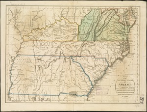
Map of the southern states of America, comprehending Maryland, Virginia, Kentucky, Territory s'th of the Ohio, North Carolina,...
4445.
Map of the Southern States, showing the relative proportion of slaves in the different localities
4446.
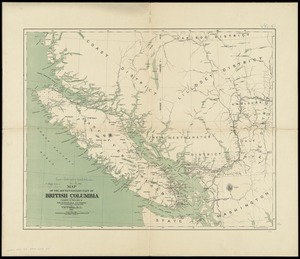
Map of the south-western part of British Columbia
4447.
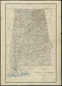
Map of the state of Alabama
4448.
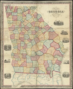
Map of the state of Georgia
4449.
Map of the state of Illinois
4450.
Map of the state of Louisiana
4451.
Map of the state of Maine : exhibiting the disputed territory in connexion with the adjacent British provinces of N. Brunswick...
4452.
Map of the state of Maine
4453.
A map of the state of Maine
4454.
Map of the state of Maine with the province of New Brunswick
4455.
[Map] of the state of Massachusetts
4456.
Map of the State of Montana
4457.
Map of the state of New Hampshire : looking over our whole country from east to west, let me ask if such a map was ever before...
4458.
Map of the state of New York
4459.
Map of the State of New York
4460.
A map of the State of New York
‹ Prev
Next ›
1
2
…
219
220
221
222
223
224
225
226
227
…
438
439


![[Map] of the state of Massachusetts](https://bpldcassets.blob.core.windows.net/derivatives/images/commonwealth:wd376589g/image_thumbnail_300.jpg)