Toggle navigation
LMEC Home
Exhibitions
Georeferencing
Tools for Teachers
Collections
My Favorites
Sign Up / Log In
Search
Search the map portal
Map Collection
Map Collection
Map Sets
Search
Search
Search for
Search In
All Fields
Creator
Title
Subject
Place
Search All Digital Collections
Advanced Search
8934 Results
My Search
Start Over
More Like
commonwealth:0z7093608
Remove constraint More Like: commonwealth:0z7093608
Filter your Search
Place
North and Central America
6,165
United States
5,069
Massachusetts
2,204
Europe
1,396
Suffolk (county)
1,211
Boston
1,184
Canada
450
Asia
438
more
Place
»
Topic
Boston (Mass.)--Maps
752
United States--Maps
282
Massachusetts--Maps
235
Real property--Massachusetts--Boston--Maps
195
City planning--Massachusetts--Boston--Maps
159
Landowners--Massachusetts--Boston--Maps
142
New England--Maps
106
North America--Maps--Early works to 1800
103
more
Topic
»
Date
Date range begin
–
Date range end
Current results range from
1482
to
2023
View distribution
Creator
United States. Hydrographic Office
595
Boston Redevelopment Authority
164
O.H. Bailey & Co
148
Des Barres, Joseph F. W. (Joseph Frederick Wallet), 1722-1824
124
United States. Post Office Dept
120
Ptolemy, 2nd cent
100
Walling, Henry Francis, 1825-1888
95
Geological Survey (U.S.)
92
more
Creator
»
Format
Maps/Atlases
8,873
Manuscripts
217
Prints
56
Books
36
Objects/Artifacts
10
Drawings/Illustrations
8
Posters
5
Ephemera
1
Georeferenced
Yes
894
No
8,040
Collection
Norman B. Leventhal Map & Education Center Collection
8,765
Boston and New England Maps
2,405
Urban Maps
2,146
Maritime Charts and Atlases
1,083
American Revolutionary War-Era Maps
657
Boston Redevelopment Authority Collection
196
Mapping Boston Collection
22
Applied Geographics, Inc. Records
21
more
Collection
»
Available to use
No known restrictions
8,709
Creative Commons license
73
Search Constraints
Sort by relevance
relevance
title
date (asc)
date (desc)
Number of results to display per page
20 per page
10
per page
20
per page
50
per page
100
per page
View results as:
grid view
map view
Search Results
7221.
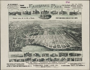
Proposed development of Fairbanks Park, Dedham, Mass
7222.
Proposed improvement of Back Bay
7223.
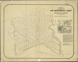
Proposed plan of the estate of the Cary Improvement Compy : in Chelsea opposite Boston, and in the same county
7224.
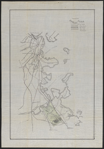
Proposed public park and routes leading thereto
7225.
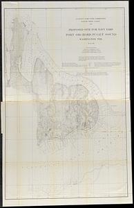
Proposed site for navy yard, Port Orchard, Puget Sound, Washington Ter.
7226.
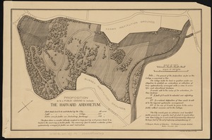
Proposition as to a public ground to include the Harvard Arboretum
7227.
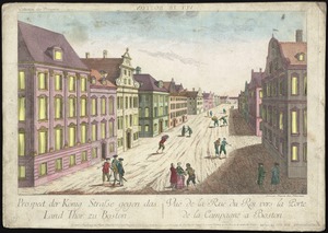
Prospect der König Strasse gegen das land thor zu Boston = Vuë de la Rue du Roi vers la porte de la campagne a Boston
7228.
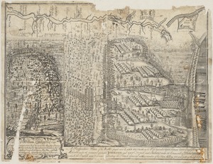
A prospective plan of the battle fought near Lake George on the 8th of September, 1755 between 2000 English with 250 Mohawks...
7229.
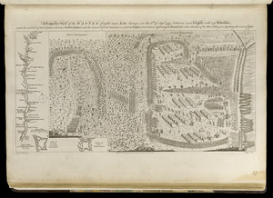
A prospective view of the battle fought near Lake George, on the 8th of Sepr. 1755, between 2000 English, with 250 Mohawks,...
7230.
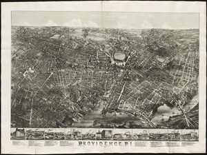
Providence, R.I
7231.
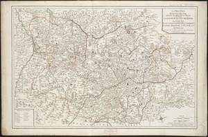
La province d'Auvergne divisée en haute et basse : la generalité de Riom ou sont les elections de Riom, Clermont, Issoire,...
7232.
Province of Maine
7233.
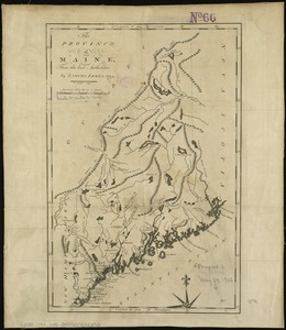
The province of Maine, from the best authorities
7234.
The province of Maine, from the best authorities
7235.
The province of New Jersey, divided into east and west, commonly called the Jerseys
7236.
The province of New Jersey, divided into east and west, commonly called the Jerseys
7237.
Les provinces des Pays-Bas Catholiques ou A most exact map of Flanders or ye Austrian Netherlands &c : it comprehends all the...
7238.
The provinces of New York and New Jersey : with part of Pensilvania, and the Province of Quebec
7239.
The provinces of New York, and New Jersey; with part of Pensilvania, and the governments of Trois Rivieres, and Montreal
7240.
Provincetown Harbor
‹ Prev
Next ›
1
2
…
358
359
360
361
362
363
364
365
366
…
446
447