Toggle navigation
LMEC Home
Exhibitions
Georeferencing
Tools for Teachers
Collections
My Favorites
Sign Up / Log In
Search
Search the map portal
Map Collection
Map Collection
Map Sets
Search
Search
Search for
Search In
All Fields
Creator
Title
Subject
Place
Search All Digital Collections
Advanced Search
8865 Results
My Search
Start Over
More Like
commonwealth:0r96fq12n
Remove constraint More Like: commonwealth:0r96fq12n
Filter your Search
Place
North and Central America
6,042
United States
4,910
Massachusetts
2,079
Europe
1,398
Suffolk (county)
1,049
Boston
1,022
Canada
462
Asia
439
more
Place
»
Topic
Boston (Mass.)--Maps
586
United States--Maps
282
Real property--Massachusetts--Boston--Maps
175
Massachusetts--Maps
162
Manuscript maps--Early works to 1800
138
Landowners--Massachusetts--Boston--Maps
133
North America--Maps--Early works to 1800
105
New England--Maps
102
more
Topic
»
Date
Date range begin
–
Date range end
Current results range from
1482
to
2023
View distribution
Creator
United States. Hydrographic Office
595
O.H. Bailey & Co
148
Des Barres, Joseph F. W. (Joseph Frederick Wallet), 1722-1824
123
United States. Post Office Dept
120
Ptolemy, 2nd cent
100
Walling, Henry Francis, 1825-1888
94
Geological Survey (U.S.)
86
Jefferys, Thomas, -1771
85
more
Creator
»
Format
Maps/Atlases
8,805
Manuscripts
350
Prints
56
Books
36
Objects/Artifacts
10
Drawings/Illustrations
8
Posters
5
Georeferenced
Yes
871
No
7,994
Collection
Norman B. Leventhal Map & Education Center Collection
8,714
Boston and New England Maps
2,235
Urban Maps
2,030
Maritime Charts and Atlases
1,100
American Revolutionary War-Era Maps
748
Library of Congress Collection
97
Boston Redevelopment Authority Collection
87
Newberry Library Collection
39
more
Collection
»
Available to use
No known restrictions
8,554
Creative Commons license
163
Search Constraints
Sort by relevance
relevance
title
date (asc)
date (desc)
Number of results to display per page
20 per page
10
per page
20
per page
50
per page
100
per page
View results as:
grid view
map view
Search Results
161.
A Plan of the Battle of Bunker Hill
162.
A plan of the bay and harbor of Boston : surveyed agreeably to the orders and instructions of the Right Honorable the Lords...
163.
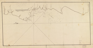
Plan of the city intended for the permanent seat of the government of t[he] United States : projected agreeable to the...
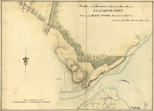
164.
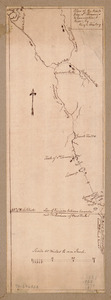
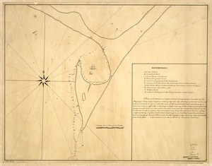
A plan of the division line between the provinces of New-York and Quebec : In the 45th degree of north latitude. Survey'd in...
165.
A plan of the harbour of Cape Lookout surveyed and sounded by His Majesty's sloop Viper
166.
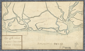
Plan of the inland navigation between South Edisto and Charlestown
167.
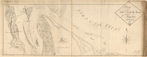
Plan of the inlet, strait, & town of St. Augustine
168.
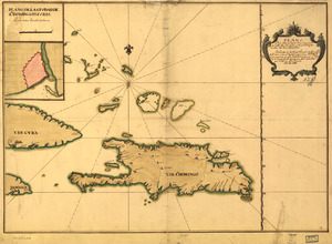
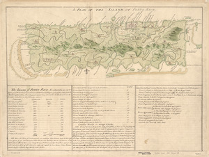
A Plan of the island of Porto Rico
169.
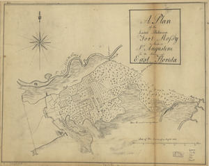
A plan of the land between Fort Mossy and St. Augustine in the province of East Florida
170.
Plan of the peninsula of Chesopeak [sic] Bay
171.
Plan of the road from Elizabeth Town Point to Elizabeth Town : shewing the rebel works raised for its defence
172.
Plan of the route from St. Francis to Connecticut River
173.
Plan of the Town of Turner, formerly Silvester Plantation : out side lines and part of the lotts ran out
174.
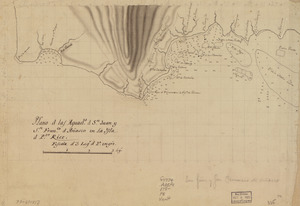
Plano d. las aguadas d. Sn. Juan y Sn. Franco. d. Añasco en la ysla de Pto. Rico, año d. 1787
175.
Plano d. las aguads. d. Sn. Juan y Sn. Franco. d. Añasco en la ysla d. Pto. Rico
176.
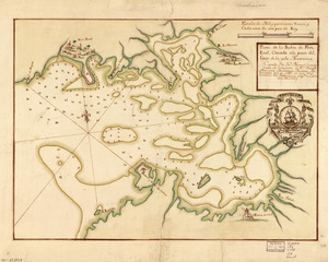
Plano de la Bahía de Fort Real cituado a la parte del oeste de la Ysla Martinica
177.
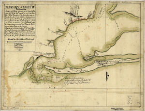
Plano de la Bahía de Ocoa situado en la banda del sur de la Ysla Española
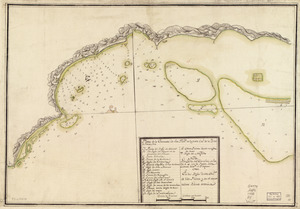
178.
Plano de la bahia de Pansacola
179.
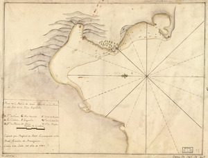
Plano de la enzenada de San Franco. en la parte occl. de la ysla de Puerto Rico
180.
Plano de la Ysla de Santo Domingo, parte de las Cuba, Jamaica y otras contiguas a ellas, del seno mexicano
‹ Prev
Next ›
1
2
…
5
6
7
8
9
10
11
12
13
…
443
444


![Plan of the city intended for the permanent seat of the government of t[he] United States](https://bpldcassets.blob.core.windows.net/derivatives/images/commonwealth:q524nf917/image_thumbnail_300.jpg)

![Plan of the peninsula of Chesopeak [sic] Bay](https://bpldcassets.blob.core.windows.net/derivatives/images/commonwealth:z603vn14c/image_thumbnail_300.jpg)