Toggle navigation
LMEC Home
Exhibitions
Georeferencing
Tools for Teachers
Collections
My Favorites
Sign Up / Log In
Search
Search the map portal
Map Collection
Map Collection
Map Sets
Search
Search
Search for
Search In
All Fields
Creator
Title
Subject
Place
Search All Digital Collections
Advanced Search
8747 Results
My Search
Start Over
More Like
commonwealth:0r96fp66r
Remove constraint More Like: commonwealth:0r96fp66r
Filter your Search
Place
North and Central America
5,968
United States
4,850
Massachusetts
2,079
Europe
1,396
Suffolk (county)
1,047
Boston
1,019
Canada
449
Asia
438
more
Place
»
Topic
Boston (Mass.)--Maps
586
United States--Maps
284
Real property--Massachusetts--Boston--Maps
175
Massachusetts--Maps
162
Landowners--Massachusetts--Boston--Maps
133
North America--Maps--Early works to 1800
105
New England--Maps
102
North America--Maps
85
more
Topic
»
Date
Date range begin
–
Date range end
Current results range from
1482
to
2023
View distribution
Creator
United States. Hydrographic Office
595
O.H. Bailey & Co
148
Des Barres, Joseph F. W. (Joseph Frederick Wallet), 1722-1824
123
United States. Post Office Dept
120
Ptolemy, 2nd cent
100
Walling, Henry Francis, 1825-1888
94
Jefferys, Thomas, -1771
87
Geological Survey (U.S.)
86
more
Creator
»
Format
Maps/Atlases
8,687
Manuscripts
215
Prints
56
Books
36
Objects/Artifacts
10
Drawings/Illustrations
8
Posters
5
Georeferenced
Yes
872
No
7,875
Collection
Norman B. Leventhal Map & Education Center Collection
8,696
Boston and New England Maps
2,233
Urban Maps
2,023
Maritime Charts and Atlases
1,083
American Revolutionary War-Era Maps
667
Boston Redevelopment Authority Collection
87
Maps from AAS
17
William L. Clements Library Collection
14
more
Collection
»
Available to use
No known restrictions
8,554
Creative Commons license
58
Search Constraints
Sort by relevance
relevance
title
date (asc)
date (desc)
Number of results to display per page
20 per page
10
per page
20
per page
50
per page
100
per page
View results as:
grid view
map view
Search Results
5701.
Olmsted Park master plan
5702.
One way streets, metered block faces, parking restriction areas and signal locations within the Boston regional core
5703.
Onset Bay Grove, Wareham, Mass
5704.
Ontario 1819
5705.
Open space 2017
5706.
Operations at Charleston : the bombardment of Fort Sumter : the actions of August 18, 19 and 20
5707.
Oppervlakte van de baaije van't eiland St. Vincent, een der Kabo-Verdse Eilanden, op 16 graaden 50 minuuten, noorderbreedte ;...
5708.
Orange Harbour, Tierra del Fuego
5709.
Orange Harbour, Tierra del Fuego
5710.
Orange, Mass
5711.
Orbis Romani descriptio : seu divisio per themata sub Imperatoribus Constantinopolitanis post Heraclii tempora facta
5712.
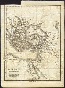
Orbis Romani pars occidentalis
5713.
Orbis Romani pars occidentalis : auspiciis serenissimi principis Ludovici Philippi Aurelianorum ducis publici juris facta
5714.
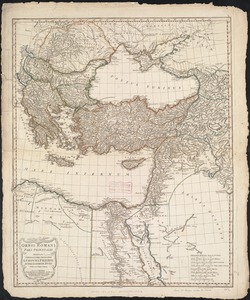
Orbis Romani pars orientalis
5715.
Orbis Romani pars orientalis : auspiciis serenissimi principis Ludovici Philippi Aurelianorum ducis publici juris facta
5716.
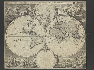
Orbis terrarum nova et accuratissima tabula
5717.
Orbis terrarum nova et accuratissima tabula
5718.
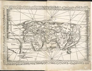
Orbis typus universalis iuxta hydrographorum traditionem exactissime depicta 1522 L.F
5719.
Orbis veteribus notus
5720.
Orbis veteribus notus scilicet: Europe, Asia, Africa publici juris factus
‹ Prev
Next ›
1
2
…
282
283
284
285
286
287
288
289
290
…
437
438