Toggle navigation
LMEC Home
Exhibitions
Georeferencing
Tools for Teachers
Collections
My Favorites
Sign Up / Log In
Search
Search the map portal
Map Collection
Map Collection
Map Sets
Search
Search
Search for
Search In
All Fields
Creator
Title
Subject
Place
Search All Digital Collections
Advanced Search
297 Results
My Search
Start Over
More Like
commonwealth:q524n8453
Remove constraint More Like: commonwealth:q524n8453
Place
United States
Remove constraint Place: United States
Filter your Search
Place
United States
[remove]
297
North and Central America
296
New York
31
Chatham (county)
15
Savannah
13
Orange (county)
12
Alabama
11
Florida
11
more
Place
»
Topic
Manuscript maps--Early works to 1800
38
Manuscript maps
18
Fortification--New York (State)--New York--Maps--Early works to 1800
11
New York (N.Y.)--Maps, Manuscript--Early works to 1800
11
Gulf Coast (U.S.)--Maps, Manuscript--Early works to 1800
10
New York (N.Y.)--Buildings, structures, etc--Maps, Manuscript--Early works to 1800
9
Saratoga Campaign, N.Y., 1777--Maps, Manuscript--Early works to 1800
8
Manhattan (New York, N.Y.)--Maps, Manuscript--Early works to 1800
7
more
Topic
»
Date
Date range begin
–
Date range end
Current results range from
1664
to
1899
1664 : 1900
1664
1900
View distribution
Creator
Hills, John, (Surveyor)
16
Montrésor, John, 1736-1799
14
Bingham, William, 1752-1804
10
Adlum, John, 1759-1836
8
Washington, George, 1732-1799
8
Wangenheim, Friedrich Adam Julius von
7
Faden, William, 1749-1836
6
Wilkinson, William Cumberland
6
more
Creator
»
Format
Maps/Atlases
295
Manuscripts
292
Objects/Artifacts
2
Georeferenced
Yes
3
No
294
Collection
American Revolutionary War-Era Maps
296
Library of Congress Collection
293
Urban Maps
13
Maritime Charts and Atlases
12
British Library Collection
3
Norman B. Leventhal Map & Education Center Collection
1
Available to use
Creative Commons license
296
No known restrictions
1
Search Constraints
Sort by relevance
relevance
title
date (asc)
date (desc)
Number of results to display per page
20 per page
10
per page
20
per page
50
per page
100
per page
View results as:
grid view
map view
Search Results
1.
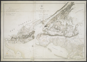
Map of defenses of New York Island from Fort Washington to Fort Independence, with redoubts, etc. planned between
2.
Map showing the Bowery Lane area of Manhattan
3.
New York Island and East Jersey : Unfinished
4.
Nord de l'Ile de New-York
5.
Plan de New-York et des îles environnantes
6.
Plan de New-York et les environs
7.
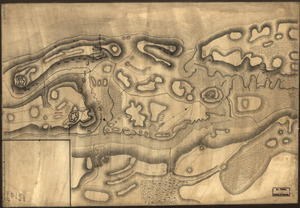
Plan of Governor's, Kennedy's, and Brown's Islan[ds] and Red Hook together with part of the Bay and soundings : shewing the...
8.
A DESCRIPTION OF THE TOWNE OF MANNADOS OR NEW AMSTERDAM as it was in September 1661 lying in Latitude 40 de: and 40,: Anno...
9.
A MAP of NEW YORK, & STATEN ISLDS; And part of LONG ISLAND : Surveyed by Order of His Excellency General Sir Henry Clinton K.B....
10.
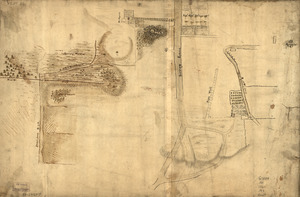
[New York Island and the Narrows. 1781]
11.
A sketch of part of the Island of New York shewing the operations of His Majesty's troops on the 16 Novr. 1776 which terminated...
12.
1st. & 2d. position of that part of the army engaged on the 19th Sept. 1777 : 3d & 4th postn. Sept. 19
13.
20 tracts, Charleston
14.
20 tracts, Tioga County
15.
The Above is a plan of the town of Cabot, State of Vermont
16.
The above plan is a discription of a new township containing the quantity of seven and a half mile of land & water, granted by...
17.
Amboy to Elizabethtown
18.
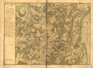
Armée de Rochambeau, 1782 : Carte des environs de Williamsburg en Virginie où les armées françoise et américaine ont...
19.
Armstrong County
20.
Armstrong C[ount]y
+
-
Redo search here
Search when I move the map
Leaflet
| ©
OpenStreetMap
contributors, ©
CartoDB
‹ Prev
Next ›
1
2
3
4
5
…
14
15

![Plan of Governor's, Kennedy's, and Brown's Islan[ds] and Red Hook together with part of the Bay and soundings](https://bpldcassets.blob.core.windows.net/derivatives/images/commonwealth:q524nj614/image_thumbnail_300.jpg)
![[New York Island and the Narrows. 1781]](https://bpldcassets.blob.core.windows.net/derivatives/images/commonwealth:hx11z295d/image_thumbnail_300.jpg)


![Armstrong C[ount]y](https://bpldcassets.blob.core.windows.net/derivatives/images/commonwealth:q524ng353/image_thumbnail_300.jpg)