Toggle navigation
LMEC Home
Exhibitions
Georeferencing
Tools for Teachers
Collections
My Favorites
Sign Up / Log In
Search
Search the map portal
Map Collection
Map Collection
Map Sets
Search
Search
Search for
Search In
All Fields
Creator
Title
Subject
Place
Search All Digital Collections
Advanced Search
60 Results
My Search
Start Over
More Like
commonwealth-oai:1r66p079m
Remove constraint More Like: commonwealth-oai:1r66p079m
Place
Pennsylvania
Remove constraint Place: Pennsylvania
Filter your Search
Place
North and Central America
60
Pennsylvania
[remove]
60
United States
60
Maryland
12
Virginia
9
Allegheny (county)
8
Philadelphia
8
Philadelphia (county)
8
more
Place
»
Topic
Pennsylvania--Maps
19
United States--History--Revolution, 1775-1783--Maps
17
United States--History--French and Indian War, 1754-1763--Maps
14
Braddock's Campaign, 1755--Maps
7
Maryland--Maps
7
Delaware--Maps
6
Philadelphia (Pa.)--Maps
6
Philadelphia Campaign, 1777-1778--Maps
6
more
Topic
»
Date
Date range begin
–
Date range end
Current results range from
1754
to
1801
1754 : 1802
1754
1802
View distribution
Creator
Jefferys, Thomas, -1771
7
Orme, Robert, -1781
6
Heart, Jonathan, 1748-1791
5
André, John, 1751-1780
3
Hutchins, Thomas, 1730-1789
3
Rocque, Mary Ann
3
Hills, John, active 1777-1819
2
Montrésor, John, 1736-1799
2
more
Creator
»
Format
Maps/Atlases
58
Drawings/Illustrations
2
Georeferenced
No
60
Collection
American Revolutionary War-Era Maps
60
William L. Clements Library Collection
60
Search Constraints
Sort by relevance
relevance
title
date (asc)
date (desc)
Number of results to display per page
20 per page
10
per page
20
per page
50
per page
100
per page
View results as:
grid view
map view
Search Results
1.
American camp at Valley Forge
2.
Burlington, New Jersey, and Bristol, Pennsylvania
3.
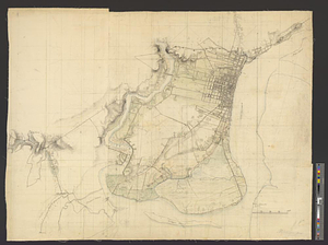
A chorographical map of the country round Philadelphia = Carte particuliere des environs de Philadelphia
4.
A compleat plan of part of the province of Pennsylvania East and West Jersey shewing the transactions of the royal army under...
5.
Delaware Bay and Chesapeake Bay
6.
Delaware Bay and Chesapeake Bay
7.
A map of that part of Pensylvania now the principle seat of war in America wherein may be seen the situation of Philadelphia,...
8.
Part of the modern counties of Monmouth, Middlesex, Somerset, Hunterdon, Mercer, Burlington, and Ocean in New Jersey and...
9.
Philadelphia : dedicated to his excellency Sir Henry Clinton K.B. general and commander in chief of his majesty's forces,...
10.
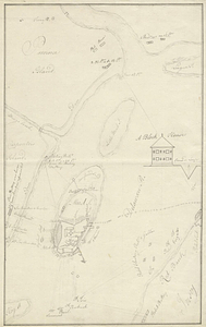
Philadelphia
11.
Plan of the British attack on Mud Island, Pennsylvania
12.
Plan of the general attack on Fort Mifflin
13.
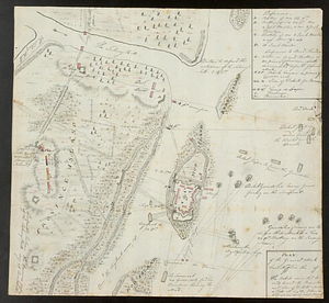
Plan of Washingtons position
14.
Position of the army near Iron Hill
15.
Progress of the British army from Elk River to Philadelphia, 1777
16.
Seat of war in the environs of Philadelphia
17.
Sketch from information of the different roads about Freehold in the Jerseys
18.
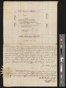
Block between Sixteenth and Seventeenth Streets and Chestnut and Market Streets, Philadelphia, 1771
19.
A draft of the Ohio from an Indian account
20.
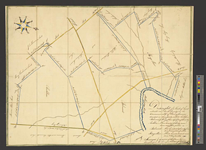
Draught of a tract of land situate in Bucks County, in the Commonwealth of Pennsylvania divided in three parts, called...
‹ Prev
Next ›
1
2
3