Toggle navigation
LMEC Home
Exhibitions
Georeferencing
Tools for Teachers
Collections
My Favorites
Sign Up / Log In
Search
Search the map portal
Map Collection
Map Collection
Map Sets
Search
Search
Search for
Search In
All Fields
Creator
Title
Subject
Place
Search All Digital Collections
Advanced Search
23 Results
My Search
Start Over
More Like
commonwealth:wm11f705f
Remove constraint More Like: commonwealth:wm11f705f
Place
New York
Remove constraint Place: New York
Filter your Search
Place
New York
[remove]
23
North and Central America
23
United States
23
New Jersey
4
Oneida (county)
2
Albany
1
Albany (county)
1
Esperance
1
more
Place
»
Topic
New York (State)--Maps--Early works to 1800
8
New York (State)--Maps
4
New Jersey--Maps--Early works to 1800
3
Long Island, Battle of, New York, N.Y., 1776--Maps
2
New Jersey--History--Revolution, 1775-1783--Maps
2
New York (State)--History--Revolution, 1775-1783--Maps
2
Albany (N.Y.)--Maps--Early works to 1800
1
Esperance (N.Y.)--Maps--Early works to 1800
1
more
Topic
»
Date
Date range begin
–
Date range end
Current results range from
1750
to
1852
1750 : 1853
1750
1853
View distribution
Creator
De Witt, Simeon, 1756-1834
4
Montrésor, John, 1736-1799
4
Le Rouge, Georges-Louis
3
Faden, William, 1749-1836
2
Williamson, Charles, 1757-1808
2
Bleecker, John R., 1713-1800
1
Carey, Mathew, 1760-1839
1
Cockburn, William
1
more
Creator
»
Format
Maps/Atlases
23
Georeferenced
No
23
Collection
MacLean Collection Map Library
23
American Revolutionary War-Era Maps
22
Search Constraints
Sort by relevance
relevance
title
date (asc)
date (desc)
Number of results to display per page
20 per page
10
per page
20
per page
50
per page
100
per page
View results as:
grid view
map view
Search Results
1.
1.st sheet of De Witt's state-map of New-York
2.
Krigs theatren i America = Seat of war in America
3.
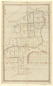
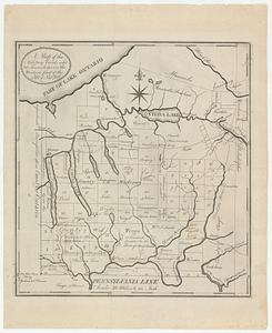
A map of a tract of land granted on the 30th May 1769 to Jacob H. Ten Eyck and three other persons laid into lots
4.
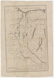
A map of Messrs: Gorham & Phelps's purchase; now the county of Ontario in the state of New York
5.
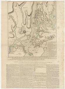
Map of the city of New-York extending northward to Fiftieth Street
6.
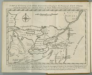
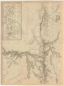
A map of the country of the Five Nations, belonging to the province of New York; and of the lakes near which the nations of far...
7.
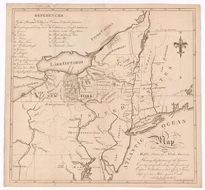
A map of the middle states of North America, shewing the position of the Geneseo country comprehending the counties of Ontario...
8.
A map of the military lands and 20 townships in the western part of the state of New York
9.
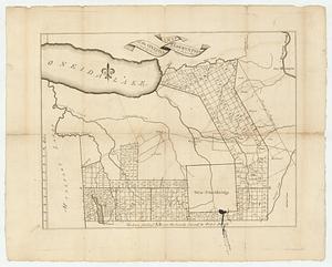
A map of the Oneida Reservation including the lands leased to Peter Smith
10.
A map of the province of New York, with part of Pensilvania, and New England
11.
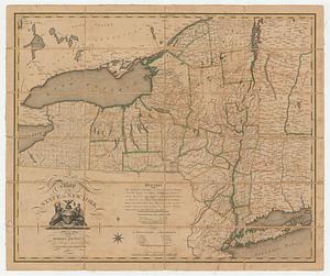
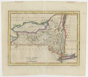
A map of the state of New York
12.
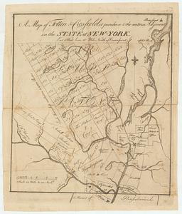
A map of Tottin & Crosfields purchase & the waters adjacent in the state of New-York
13.
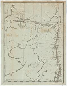
Map of western New York state, marking land plots around Lac Oneida
14.
New York
15.
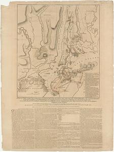
A plan of New York Island, with part of Long Island, Staten Island & east New Jersey, with a particular description of the...
16.
A plan of New York Island, with part of Long Island, Staten Island & east New Jersey, with a particular description of the...
17.
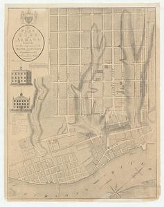
A plan of the city of Albany surveyed at the request of the Mayor Aldermen and commonalty
18.
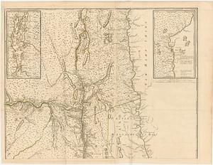
Province de New-York en 4. feuilles
19.
Province de New-York en 4. feuilles
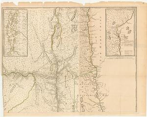
20.
Province de New-York en 4. feuilles par Montresor
‹ Prev
Next ›
1
2