Toggle navigation
LMEC Home
Exhibitions
Georeferencing
Tools for Teachers
Collections
My Favorites
Sign Up / Log In
Search
Search the map portal
Map Collection
Map Collection
Map Sets
Search
Search
Search for
Search In
All Fields
Creator
Title
Subject
Place
Search All Digital Collections
Advanced Search
17 Results
My Search
Start Over
More Like
commonwealth:kh04p6880
Remove constraint More Like: commonwealth:kh04p6880
Place
Asia
Remove constraint Place: Asia
Filter your Search
Place
Asia
[remove]
17
North and Central America
6
Russia
5
Siberia
4
Kyoto
3
North America
3
Alaska
2
Arctic
2
more
Place
»
Topic
Kyoto (Japan)--Maps
3
North America--Maps--Early works to 1800
3
Arctic regions--Maps--Early works to 1800
2
Beijing (China)--Maps
2
Siberia (Russia)--Maps--Early works to 1800
2
Alaska--Maps
1
Aleutian Islands (Alaska)--Maps--Early works to 1800
1
Arctic Ocean--Maps--Early works to 1800
1
more
Topic
»
Date
Date range begin
–
Date range end
Current results range from
1699
to
1900
1699 : 1901
1699
1901
View distribution
Creator
Hayashi, Yoshinaga
3
Bieore, R.
1
Drage, Theodore Swaine
1
Heydinger, Carl, -1801
1
Imprimerie nationale (France)
1
Jefferys, Thomas, -1771
1
L'Isle, Joseph Nicolas de, 1688-1768
1
La Pérouse, Jean-François de Galaup, comte de, 1741-1788
1
more
Creator
»
Format
Maps/Atlases
17
Manuscripts
2
Georeferenced
No
17
Collection
MacLean Collection Map Library
17
American Revolutionary War-Era Maps
6
Search Constraints
Sort by relevance
relevance
title
date (asc)
date (desc)
Number of results to display per page
20 per page
10
per page
20
per page
50
per page
100
per page
View results as:
grid view
map view
Search Results
1.
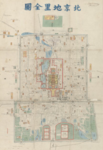
Beijing dili quantu
2.
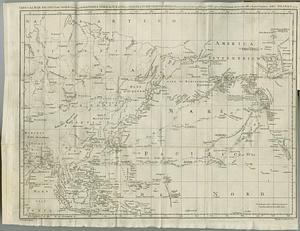
Carta del Mar Pacifico del nord che comprendela costa nord est d'Asia e la costa-nord ouest d'America riconosciute nel 1778 e79...
3.
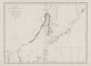
Carte des decouvertes, faites en 1787 dans les mers de Chine et de Tartarie, par les Fregates Francaises la Boussole et...
4.
Carte du Detroit qui separe l'Asie de l'Amerique, avec la cote des Tschoutskis, tracee d'apres les observations faites dans la...
5.
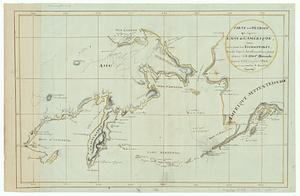
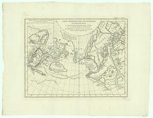
Carte generale des decouvertes de l'Amiral de Fonte, et autres navigateurs espagnols, anglois et russes pour la recherche du...
6.
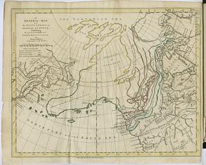
A general map of the discoveries of Admiral de Fonte, exhibiting the great probability of a north-west passage
7.
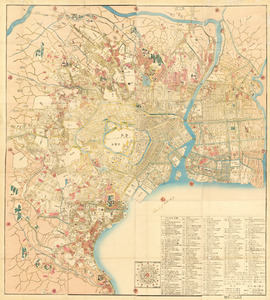
Kaisei On’edo oezu
8.
Map of Seoul
9.
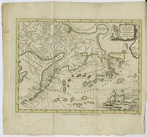
A map of the new northern archipelago discover'd by the Russians in the seas of Kamtschatka & Anadir
10.
Mukden-i dedun uden-i nirugan
11.
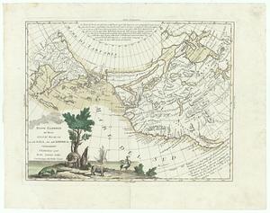
Nuove scoperte de' russi al nord del mare del sud si nell' Asia, che nell America
12.
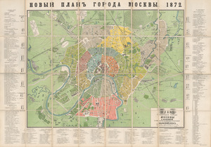
Plan stolichnogo goroda Moskvy i yego okrestnostey s oboznacheniyem basseynov, telegrafnykh stantsiy i soyedinyayushchikh...
13.
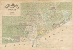
Plano de Manila y sus arrabales 1894
14.
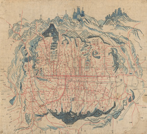
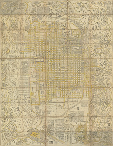
Shinsen zouho Kyo oezu
15.
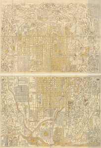
Shinsen zouho Kyo oezu
16.
Shinsen zouho Kyo oezu
17.
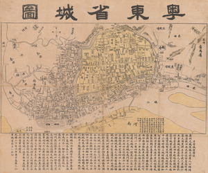
Yuedong sheng chengtu