Toggle navigation
LMEC Home
Exhibitions
Georeferencing
Tools for Teachers
Collections
My Favorites
Sign Up / Log In
Search
Search the map portal
Map Collection
Map Collection
Map Sets
Search
Search
Search for
Search In
All Fields
Creator
Title
Subject
Place
Search All Digital Collections
Advanced Search
7826 Results
My Search
Start Over
More Like
commonwealth:7h14b2398
Remove constraint More Like: commonwealth:7h14b2398
Georeferenced
No
Remove constraint Georeferenced: No
Filter your Search
Place
North and Central America
5,228
United States
4,207
Massachusetts
1,832
Europe
1,316
Suffolk (county)
923
Boston
903
Canada
438
Asia
400
more
Place
»
Topic
Boston (Mass.)--Maps
506
United States--Maps
219
Real property--Massachusetts--Boston--Maps
168
Landowners--Massachusetts--Boston--Maps
128
Massachusetts--Maps
107
North America--Maps--Early works to 1800
102
New England--Maps
85
World maps
71
more
Topic
»
Date
Date range begin
–
Date range end
Current results range from
1482
to
2023
1482 : 2024
1482
2024
View distribution
Creator
United States. Hydrographic Office
594
O.H. Bailey & Co
148
Des Barres, Joseph F. W. (Joseph Frederick Wallet), 1722-1824
119
Ptolemy, 2nd cent
100
Walling, Henry Francis, 1825-1888
86
Jefferys, Thomas, -1771
84
Jansson, Jan, 1588-1664
75
Geological Survey (U.S.)
71
more
Creator
»
Format
Maps/Atlases
7,766
Manuscripts
200
Prints
56
Books
36
Objects/Artifacts
10
Drawings/Illustrations
8
Posters
5
Georeferenced
No
[remove]
7,826
Collection
Norman B. Leventhal Map & Education Center Collection
7,825
Boston and New England Maps
2,024
Urban Maps
1,852
Maritime Charts and Atlases
1,073
American Revolutionary War-Era Maps
582
Boston Redevelopment Authority Collection
87
William L. Clements Library Collection
1
Available to use
No known restrictions
7,716
Creative Commons license
40
Search Constraints
Sort by relevance
relevance
title
date (asc)
date (desc)
Number of results to display per page
20 per page
10
per page
20
per page
50
per page
100
per page
View results as:
grid view
map view
Search Results
1.
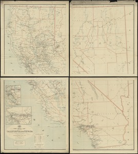
Map of California and Nevada
2.
Map of California and Nevada, with parts of Utah & Arizona
3.
Post route map of the states of California and Nevada showing post offices with the intermediate distances on mail routes in...
4.
Fault map of the state of California
5.
Geographical, topographical, state highway and railroad map of California
6.
Map of North America
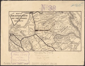
7.
Map of rail & stage route to Big Tree Groves and Yosemite
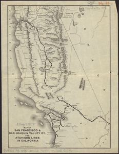
8.
Map of San Francisco & San Joaquin Valley Ry. and Atchison lines in California
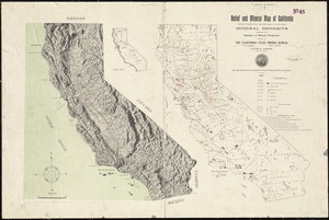
9.
Relief and mineral map of California showing the topography and the approximate locations of all the principal mineral deposits...
10.
State of California
11.
The unique map of California
12.
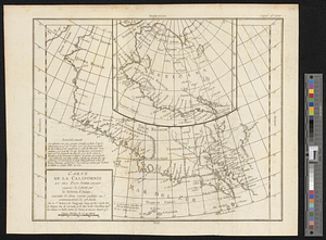
Carte de la Californie et des pays nord-ouest separés de l'Asie par le détroit d'Anian, extraite de deux cartes publiées au...
13.
The 100th anniversary map of Abraham Lincoln's visit to Massachusetts, September 11-23, 1848
14.
19th annual convention of the National Association of Real Estate Boards : at Tulsa, June 7 to June 11 in 1926
15.
2005 significant U.S. hurricane strikes
16.
The 2100 project : an atlas for the Green New Deal
17.
227 Harzgerode
18.
305 Glatz
19.
38,000,000 escaped -- 10,000,000 died
20.
660 Wakulah St., Roxbury
+
-
Redo search here
Search when I move the map
Leaflet
| ©
OpenStreetMap
contributors, ©
CartoDB
‹ Prev
Next ›
1
2
3
4
5
…
391
392