Toggle navigation
LMEC Home
Exhibitions
Georeferencing
Tools for Teachers
Collections
My Favorites
Sign Up / Log In
Search
Search the map portal
Map Collection
Map Collection
Map Sets
Search
Search
Search for
Search In
All Fields
Creator
Title
Subject
Place
Search All Digital Collections
Advanced Search
32 Results
My Search
Start Over
More Like
commonwealth:q524nd113
Remove constraint More Like: commonwealth:q524nd113
Collection
Maritime Charts and Atlases
Remove constraint Collection: Maritime Charts and Atlases
Filter your Search
Place
North and Central America
29
United States
13
Florida
11
Alabama
7
Louisiana
5
Mississippi
5
Añasco
3
Mayagüez
3
more
Place
»
Topic
Manuscript maps--Early works to 1800
17
Coasts--Florida--Maps--Early works to 1800
7
Nautical charts--Florida--Early works to 1800
6
Florida--Maps--Early works to 1800
5
Gulf Coast (U.S.)--Maps, Manuscript--Early works to 1800
5
Añasco (P.R.)--Maps--Early works to 1800
3
Coasts--Puerto Rico--Añasco--Maps--Early works to 1800
3
Coasts--Puerto Rico--Mayagüez--Maps--Early works to 1800
3
more
Topic
»
Date
Date range begin
–
Date range end
Current results range from
1726
to
1800
1726 : 1801
1726
1801
View distribution
Creator
De Brahm, John Gerar William, 1717-approximately 1799
4
Campo, Josef del
2
Braddock, David Cutler
1
Camerino, Leonardo Miguel
1
Devin, Valentin
1
Espinosa, Pedro Alcantara
1
Gómez y Sande, Juan
1
King, N. (Nicholas), 1771-1812
1
more
Creator
»
Format
Manuscripts
32
Maps/Atlases
32
Georeferenced
No
32
Collection
Maritime Charts and Atlases
[remove]
32
American Revolutionary War-Era Maps
31
Library of Congress Collection
31
Newberry Library Collection
1
Available to use
Creative Commons license
31
Search Constraints
Sort by relevance
relevance
title
date (asc)
date (desc)
Number of results to display per page
20 per page
10
per page
20
per page
50
per page
100
per page
View results as:
grid view
map view
Search Results
1.
Boston Harbor, Massachusetts
2.
Carte de l'entrée du port et rade de Pensacola
3.
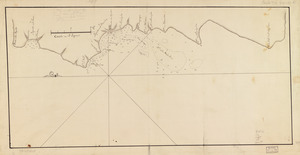
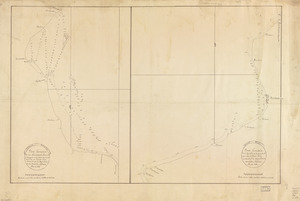
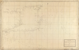
Chart of the sea coast from latitude 27⁰00ʹ00ʺ to 27⁰20ʹ00ʺ, with Little Inlet & River into Hillsborough River ; Chart of the...
4.
Chart of the sea coast from lattde. 26⁰20ʹ00ʺ to 26⁰ & 40ʹ00ʺ with the head of Sharkshead River ; Chart of New Inlet ; Chart of...
5.
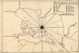
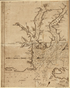
Costa desde la Mobila asta la Bahía de Sn. Josef
6.
A map with part of the Florida coast from Cape Blaise to Apalachie : with the boundaries betwixt East & West Floridas, 160...
7.
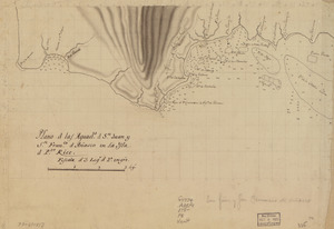
Plano d. las aguadas d. Sn. Juan y Sn. Franco. d. Añasco en la ysla de Pto. Rico, año d. 1787
8.
Plano d. las aguads. d. Sn. Juan y Sn. Franco. d. Añasco en la ysla d. Pto. Rico
9.
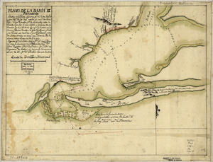
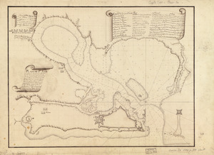
Plano de la bahia de Pansacola
10.
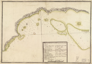
Plano de la enzenada de San Franco. en la parte occl. de la ysla de Puerto Rico
11.
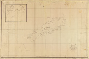
Plano de Pto. Rico en la ysla de este nombre situado en 18⁰37ʹ de latitd. N. y en 59⁰42ʹ de longd. O. de Cádiz
12.
Plano de Puerto Rico, situado en la parte septemtrional de la ysla de este nombre, una de las de Barlovento en la lattd. de...
13.
Plano geométrico de las ensenadas de Añasco y Mayagües en la costa occidental de la ysla de Puerto Rico
14.
A Sketch of the harbour of St. Iago de Cuba
15.
Special chart of Cape Florida belonging to the 13th section
16.
Special chart of Muskito Inlet
17.
Carte de la coste de la Louisiane, depuis la Baye de St. Bernard jusqu'a celle de Saint Joseph : ou tous les ports, rades, et...
18.
Carta esférica de la Ysla de Tabago
19.
Carta esférica que comprehende la Ysla de Trinidad con sus adyacentes, bajos, sondas y veriles
20.
Chart showing the depth of the James and York rivers as they enter Chesapeake Bay, with towns adjacent
+
-
Redo search here
Search when I move the map
Leaflet
| ©
OpenStreetMap
contributors, ©
CartoDB
‹ Prev
Next ›
1
2


![Chart of the sea coast from latitude 27⁰00ʹ00ʺ to 27⁰20ʹ00ʺ, with Little Inlet & River into Hillsborough River ; Chart of the sea coast from latitude 26⁰40ʹ00ʺ to [27⁰]00ʹ00ʺ, the Leech Shoal & Hillsborough River](https://bpldcassets.blob.core.windows.net/derivatives/images/commonwealth:q524nd97p/image_thumbnail_300.jpg)