Toggle navigation
LMEC Home
Exhibitions
Georeferencing
Tools for Teachers
Collections
My Favorites
Sign Up / Log In
Search
Search the map portal
Map Collection
Map Collection
Map Sets
Search
Search
Search for
Search In
All Fields
Creator
Title
Subject
Place
Search All Digital Collections
Advanced Search
2487 Results
My Search
Start Over
boston atlas
Remove constraint boston atlas
Filter your Search
Place
North and Central America
1,357
United States
820
Europe
458
Massachusetts
344
Asia
188
Canada
187
South America
187
Suffolk (county)
160
more
Place
»
Topic
Landowners--Massachusetts--Boston--Maps
115
Real property--Massachusetts--Boston--Maps
106
United States--Maps
85
Boston (Mass.)--Maps
63
Nautical charts--Early works to 1800
39
Buildings--Massachusetts--Boston--Maps
34
Elections--United States--Maps
34
Nova Scotia--Maps--Early works to 1800
33
more
Topic
»
Date
Date range begin
–
Date range end
Current results range from
1482
to
2023
View distribution
Creator
United States. Hydrographic Office
582
Des Barres, Joseph F. W. (Joseph Frederick Wallet), 1722-1824
116
Ptolemy, 2nd cent
100
Bromley, George Washington
86
Bromley, Walter Scott
84
Carey, Mathew, 1760-1839
72
Paullin, Charles Oscar, 1868 or 1869-1944
70
United States Exploring Expedition (1838-1842)
70
more
Creator
»
Format
Maps/Atlases
2,478
Books
34
Manuscripts
13
Prints
8
Drawings/Illustrations
1
Georeferenced
Yes
133
No
2,354
Collection
Norman B. Leventhal Map & Education Center Collection
2,386
Maritime Charts and Atlases
1,112
Boston and New England Maps
374
American Revolutionary War-Era Maps
285
Urban Maps
250
Massachusetts Real Estate Atlases
72
Mapping Boston Collection
61
Lucius Beebe Memorial Library Historic Maps
11
more
Collection
»
Available to use
No known restrictions
2,253
Creative Commons license
73
Search Constraints
Sort by relevance
relevance
title
date (asc)
date (desc)
Number of results to display per page
20 per page
10
per page
20
per page
50
per page
100
per page
View results as:
grid view
map view
Search Results
461.
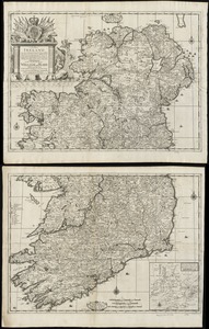
A new map of Ireland according to Sr. W. Petty (but supplied wth. many additions which are not in his survey nor in any other...
462.
A mapp of ye improved part of Pensilvania in America, divided into countyes, townships, and lotts
463.
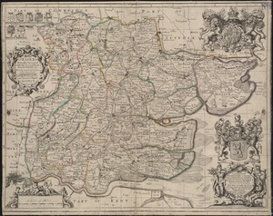
Essex actually surveyed with the several Roads from London &c
464.
An actual survey of the sea coast from New York to the I. Cape Brition : with tables of the direct and thwart courses &...
465.
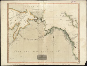
Chart of the Northern Passage between Asia & America
466.
Culiacanae, Americae regionis, descriptio : Hispaniolae, Cubae, aliarumque insularum circumiacientium, delineatio
467.
An epitome of Sr. William Petty's large survey of Ireland divided into its 4 provinces & 32 counties ... and bridges
468.
A generall mapp of the continent and islands which bee adjacent to Jamaica : A new mapp of the Island of Jamaica
469.
A correct map of the coast of New England
470.
A map of the world : corrected from the observations communicated to the Royal Societys of London and Paris
471.
A new map of Carolina
472.
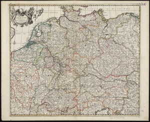
A new map of Germany divided into its general and perticuler parts
473.
A new map of New England, New York, New Iarsey, Pensilvania, Maryland and Virginia
474.
A correct map of the coast of New England
475.
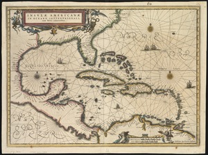
Insulae Americanae in Oceano Septentrionali, cum terris adiacentibus
476.
An accurate map of Europe from the best authorities
477.
Sweden, Denmark, Norway and Finland : from the best authorities
478.
A new map of England and Wales with the direct and cros roads also the number of miles between the townes on the roads by...
479.
A new generall map of the seat of war from Vpper Hungary to the Isle of Candia : with exact prospects of Napoli di Romania,...
480.
Les grandes et petites isles Antilles, et les isles Lucayes avec une partie de la mer du Nord
‹ Prev
Next ›
1
2
…
20
21
22
23
24
25
26
27
28
…
124
125