Toggle navigation
LMEC Home
Exhibitions
Georeferencing
Tools for Teachers
Collections
My Favorites
Sign Up / Log In
Search
Search the map portal
Map Collection
Map Collection
Map Sets
Search
Search
Search for
Search In
All Fields
Creator
Title
Subject
Place
Search All Digital Collections
Advanced Search
13385 Results
Filter your Search
Place
North and Central America
10,111
United States
8,249
Massachusetts
2,691
Suffolk (county)
1,664
Boston
1,621
Europe
1,386
Canada
949
New York
640
more
Place
»
Topic
Boston (Mass.)--Maps
741
City planning--Massachusetts--Boston--Maps
418
United States--History--Revolution, 1775-1783--Maps
329
United States--Maps
315
Urban renewal--Massachusetts--Boston--Maps
254
Real property--Massachusetts--Boston--Maps
252
Massachusetts--Maps
219
Insurance surveys
197
more
Topic
»
Date
Date range begin
–
Date range end
Current results range from
1482
to
2023
View distribution
Creator
United States. Hydrographic Office
595
Boston Redevelopment Authority
403
Des Barres, Joseph F. W. (Joseph Frederick Wallet), 1722-1824
247
Royal United Services Institute for Defence and Security Studies
160
Jefferys, Thomas, -1771
154
George, III, King of Great Britain, 1738-1820
152
George, IV, King of Great Britain, 1762-1830
151
O.H. Bailey & Co
148
more
Creator
»
Format
Maps/Atlases
13,205
Manuscripts
985
Prints
102
Books
49
Drawings/Illustrations
44
Photographs
15
Objects/Artifacts
13
Documents
7
more
Format
»
Georeferenced
Yes
979
No
12,406
Collection
Norman B. Leventhal Map & Education Center Collection
8,891
American Revolutionary War-Era Maps
3,305
Boston and New England Maps
2,804
Urban Maps
2,397
Maritime Charts and Atlases
1,150
William L. Clements Library Collection
910
Library of Congress Collection
618
Boston Redevelopment Authority Collection
475
more
Collection
»
Available to use
No known restrictions
9,952
Creative Commons license
1,677
Search Constraints
Sort by relevance
relevance
title
date (asc)
date (desc)
Number of results to display per page
20 per page
10
per page
20
per page
50
per page
100
per page
View results as:
grid view
map view
Search Results
4881.
Map of British Columbia and part of western Canada, showing the lines and lands of the Canadian Pacific Railway
4882.
Map of British Columbia to the 56th parallel, north latitude
4883.
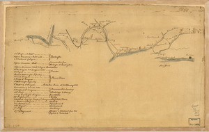
Map of British outposts between Burlington and New Bridge, New Jersey, December 1776
4884.
Map of Brookline and vicinity
4885.
Map of Broome County, New York
4886.
Map of Burma : prepared for the Ireland report on colonial administration in the Far East
4887.
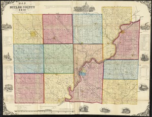
Map of Butler County, Ohio
4888.
Map of Caledonia County, Vermont
4889.
Map of Calhoun County, Michigan
4890.
Map of California and Nevada
4891.
Map of California and Nevada
4892.
Map of California and Nevada, with parts of Utah & Arizona
4893.
Map of California Pacific Railroad : showing its relative position to other railroads
4894.
Map of Cambria Co., Penna
4895.
Map of Cambridge
4896.
Map of Cambridge in the vicinity of Harvard College 1903-4
4897.
A map of Cambridge, Mass
4898.
Map of Cambridge Massachusetts
4899.
Map of Cambridge roads, about 1807
4900.
A map of Canaan : with the adjacent countrie's very usefull for the understanding of the Old Testament
‹ Prev
Next ›
1
2
…
241
242
243
244
245
246
247
248
249
…
669
670