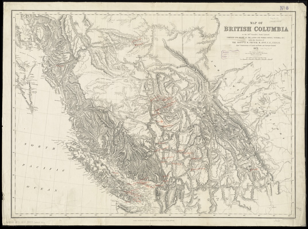
Map of British Columbia to the 56th parallel, north latitude
Item Information
- Title:
- Map of British Columbia to the 56th parallel, north latitude
- Creator:
- British Columbia. Department of Lands and Works
- Name on Item:
-
compiled and drawn at the Lands and Works Office, Victoria, B.C. under the direction of the Honble. J.W. Trutch, M. Inst., C.E., F.R.G.S., chief commissioner of Lands and Works and Surveyor General ; J.B. Launders, draughtsman, Lands and Works Office, Victoria, B.C., May 9th 1870.
- Date:
-
1871
- Format:
-
Maps/Atlases
- Location:
-
Boston Public Library
Norman B. Leventhal Map & Education Center - Collection (local):
-
Norman B. Leventhal Map & Education Center Collection
- Subjects:
-
Post office stations and branches--British Columbia--Maps
British Columbia--Maps
- Places:
-
CanadaProvince of British Columbia (province)
- Extent:
- 1 map ; 64 x 88 cm
- Terms of Use:
-
No known copyright restrictions.
No known restrictions on use.
- Publisher:
-
London :
Edward Stanford
- Edition:
- Additions to Jan. 1871.
- Scale:
-
Scale 1:1,584,000
- Language:
-
English
- Notes:
-
Relief shown by hachures and spot heights.
BPL copy has ms. red ink identifying post offices.
- Identifier:
-
06_01_011604
- Call #:
-
G3510 1871 .B75
- Barcode:
-
39999065687913
- LCCN:
-
93684540


