Map of Cambridge roads, about 1807
Item Information
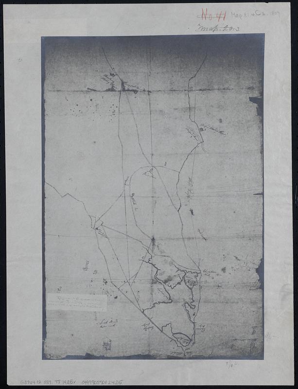
- Title:
- Map of Cambridge roads, about 1807
- Cartographer:
- Tufts, Peter, Jr.
- Date:
-
[1925]
- Format:
-
Maps/Atlases
- Location:
-
Boston Public Library
Norman B. Leventhal Map & Education Center - Collection (local):
-
Norman B. Leventhal Map & Education Center Collection
- Subjects:
-
Cambridge (Mass.)--Maps
Roads--Massachusetts--Cambridge--Maps
- Places:
-
MassachusettsMiddlesex (county)Cambridge
- Extent:
- 1 map ; 35 x 24 cm
- Terms of Use:
-
No known copyright restrictions.
No known restrictions on use.
- Publisher:
-
[Place of publication not identified] :
[publisher not identified]
- Scale:
-
Scale approximately 1:15,840
- Language:
-
English
- Notes:
-
Title supplied by cataloger.
Facsimile; 1/4 size photostat of the original belonging to the Somerville Historical Society.
- Notes (date):
-
This date is inferred.
- Identifier:
-
06_01_018327
- Call #:
-
G3764.C2 1807 .T8 1925x
- Barcode:
-
39999059012425


