Search Constraints
Search Results


13342. Westliche halbkugel


13344. Weymouth, Mass., 1880


13346. Whale chart

13347. Whale chart


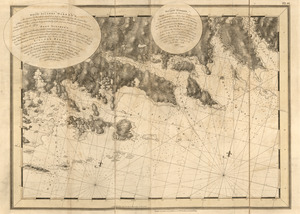
13352. White Haven
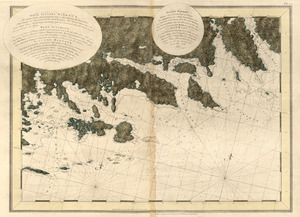
13353. White Haven

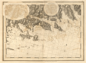
13354. White Haven
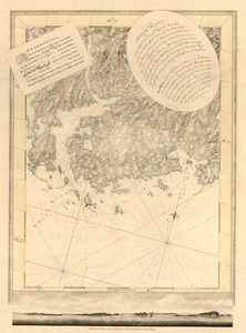
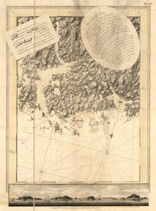
13355. White Haven