Toggle navigation
LMEC Home
Exhibitions
Georeferencing
Tools for Teachers
Collections
My Favorites
Sign Up / Log In
Search
Search the map portal
Map Collection
Map Collection
Map Sets
Search
Search
Search for
Search In
All Fields
Creator
Title
Subject
Place
Search All Digital Collections
Advanced Search
13541 Results
Filter your Search
Place
North and Central America
10,249
United States
8,381
Massachusetts
2,783
Suffolk (county)
1,677
Boston
1,633
Europe
1,388
Canada
950
New York
644
more
Place
»
Topic
Boston (Mass.)--Maps
747
City planning--Massachusetts--Boston--Maps
418
United States--History--Revolution, 1775-1783--Maps
329
United States--Maps
321
Real property--Massachusetts--Boston--Maps
254
Urban renewal--Massachusetts--Boston--Maps
254
Massachusetts--Maps
231
Insurance surveys
197
more
Topic
»
Date
Date range begin
–
Date range end
Current results range from
1482
to
2023
View distribution
Creator
United States. Hydrographic Office
596
Boston Redevelopment Authority
404
Des Barres, Joseph F. W. (Joseph Frederick Wallet), 1722-1824
247
Royal United Services Institute for Defence and Security Studies
160
Jefferys, Thomas, -1771
154
George, III, King of Great Britain, 1738-1820
152
George, IV, King of Great Britain, 1762-1830
151
O.H. Bailey & Co
148
more
Creator
»
Format
Maps/Atlases
13,360
Manuscripts
985
Prints
102
Books
49
Drawings/Illustrations
44
Photographs
15
Objects/Artifacts
13
Documents
7
more
Format
»
Georeferenced
Yes
979
No
12,562
Collection
Norman B. Leventhal Map & Education Center Collection
9,045
American Revolutionary War-Era Maps
3,305
Boston and New England Maps
2,906
Urban Maps
2,432
Maritime Charts and Atlases
1,168
William L. Clements Library Collection
910
Library of Congress Collection
618
Boston Redevelopment Authority Collection
475
more
Collection
»
Available to use
No known restrictions
10,108
Creative Commons license
1,677
Search Constraints
Sort by relevance
relevance
title
date (asc)
date (desc)
Number of results to display per page
20 per page
10
per page
20
per page
50
per page
100
per page
View results as:
grid view
map view
Search Results
2861.
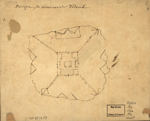
Design for Governor's Island
2862.
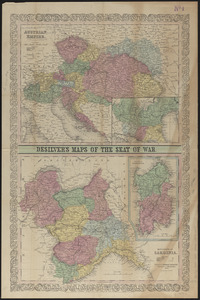
Desilver's maps of the seat of war
2863.
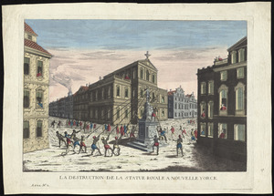
La destruction de la statue royale a Nouvelle Yorck
2864.
Detail map of the Atlantic & Pacific Rail Road from the Mississippi River to the Pacific Ocean
2865.
Detailed map of the seat of war from Chateau Salins to Mannheim & Worms to Strasbourg
2866.
Detroit 1820
2867.
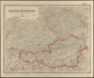
Deutsch Österreich nach den forderungen des friedensentwurfes der entente
2868.
Das Deutsche Reich : in 4 Blättern
2869.
Deutschland
2870.
Deutschland in seiner neugestaltung
2871.
Deutschland, königr. der Niederlande, kgr. Belgien und die Schweiz, nebst theilen der angränzenden länder nach Adolf...
2872.
Deutschland nebst den königreichen Holland, Belgien und der republik Schweiz
2873.
Deutschland und der gröste theil der umliegenden staaten oder Mittel-Europa in 35 blättern : nach astronomischen...
2874.
Deutschland und der gröste theil der umliegenden staaten, oder Mittel-Europa in 35 blättern : nach astronomischen...
2875.
Deux pages d'histoire : l'ancienne Chambre dite des 363, elue les 20 Février et 5 Mars 1876, dissolution le 23 Juin 1877, la...
2876.
Developable lands and partial constraints : town of Taunton
2877.
Developer's kit : South Cove urban renewal area, project no. Mass. r-92, parcel r-7, residential use
2878.
Development of the Calfpasture, Boston, Massachusetts
2879.
Devoniae descriptio : the description of Devonshire
2880.
DFWELE land showing 1985-1990 acquisitions
‹ Prev
Next ›
1
2
…
140
141
142
143
144
145
146
147
148
…
677
678