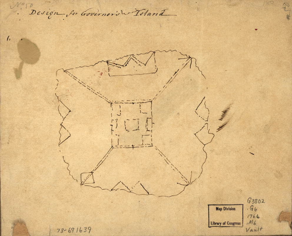
Design for Governor's Island
This map is also available in American Revolutionary Geographies Online (ARGO), a collections portal especially built for material relating to the American Revolutionary War Era. Visit ARGO to learn more about this item and explore the historical geography of North America in the late eighteenth century.
Item Information
- Title:
- Design for Governor's Island
- Creator:
- Montrésor, John, 1736-1799
- Date:
-
[1766?]
- Format:
-
Maps/Atlases
Manuscripts
- Location:
- Library of Congress Geography and Map Division
- Collection (local):
-
Library of Congress Collection
- Subjects:
-
Governors Island (New York County, N.Y.)--Maps, Manuscript--Early works to 1800
- Places:
-
Governors Island (island)New YorkBronx
- Extent:
- 1 manuscript map, on sheet 19 x 23 cm.
- Terms of Use:
-
No known copyright restrictions.
This work is licensed for use under a Creative Commons Attribution Non-Commercial Share Alike License (CC BY-NC-SA).

- Scale:
-
Scale not given
- Language:
-
English
- Catalog Record:
-
https://lccn.loc.gov/73691639
- Notes:
-
Manuscript, pen-and-ink.
At head of title, in pencil: No. 50.
Stamped on verso: John Montresor.
- Notes (citation):
-
LC Maps of North America, 1750-1789, 1142
- Identifier:
-
ar114200


