Toggle navigation
LMEC Home
Exhibitions
Georeferencing
Tools for Teachers
Collections
My Favorites
Sign Up / Log In
Search
Search the map portal
Map Collection
Map Collection
Map Sets
Search
Search
Search for
Search In
All Fields
Creator
Title
Subject
Place
Search All Digital Collections
Advanced Search
13518 Results
Filter your Search
Place
North and Central America
10,232
United States
8,367
Massachusetts
2,778
Suffolk (county)
1,675
Boston
1,631
Europe
1,386
Canada
949
New York
640
more
Place
»
Topic
Boston (Mass.)--Maps
746
City planning--Massachusetts--Boston--Maps
418
United States--History--Revolution, 1775-1783--Maps
329
United States--Maps
321
Real property--Massachusetts--Boston--Maps
254
Urban renewal--Massachusetts--Boston--Maps
254
Massachusetts--Maps
230
Insurance surveys
197
more
Topic
»
Date
Date range begin
–
Date range end
Current results range from
1482
to
2023
View distribution
Creator
United States. Hydrographic Office
596
Boston Redevelopment Authority
404
Des Barres, Joseph F. W. (Joseph Frederick Wallet), 1722-1824
247
Royal United Services Institute for Defence and Security Studies
160
Jefferys, Thomas, -1771
154
George, III, King of Great Britain, 1738-1820
152
George, IV, King of Great Britain, 1762-1830
151
O.H. Bailey & Co
148
more
Creator
»
Format
Maps/Atlases
13,337
Manuscripts
985
Prints
102
Books
49
Drawings/Illustrations
44
Photographs
15
Objects/Artifacts
13
Documents
7
more
Format
»
Georeferenced
Yes
979
No
12,539
Collection
Norman B. Leventhal Map & Education Center Collection
9,022
American Revolutionary War-Era Maps
3,305
Boston and New England Maps
2,900
Urban Maps
2,425
Maritime Charts and Atlases
1,167
William L. Clements Library Collection
910
Library of Congress Collection
618
Boston Redevelopment Authority Collection
475
more
Collection
»
Available to use
No known restrictions
10,085
Creative Commons license
1,677
Search Constraints
Sort by relevance
relevance
title
date (asc)
date (desc)
Number of results to display per page
20 per page
10
per page
20
per page
50
per page
100
per page
View results as:
grid view
map view
Search Results
2241.
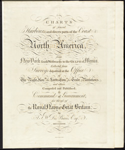
Charts of several harbours, and divers parts of the coast of North America, from New York south westwards to the Gulph of Mexico
2242.
Charts of the coast and harbors of New England : [title page]
2243.
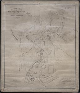
Chatham Lights to south west part of Handkerchief
2244.
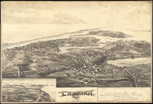
Chatham, Mass
2245.
Chatham Mfg. Co., Mill No. 2, Winston-Salem, N.C. [insurance map]
2246.
Chesapeake Bay, environmentally sensitive areas
2247.
Chester
2248.
Chester, Mass : 1885
2249.
The Chevron trail through the scenic west
2250.
[Chiapas]
2251.
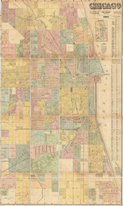
Chicago
2252.
Chicago
2253.
Chicago
2254.
Chicago
2255.
Chicago, Burlington & Quincy R.R. and intersecting lines
2256.
Chicago motor coach pictorial map of Chicago
2257.
Chicago Terminal Transfer Railroad Co. map showing property of railroads in the business center of Chicago
2258.
Chickamauga and Chattanooga National Military Park and approaches
2259.
Chicopee Mfg. Corp. (Cotton Mill), Chicopee Falls, Mass. [insurance map]
2260.
Chicopee River
‹ Prev
Next ›
1
2
…
109
110
111
112
113
114
115
116
117
…
675
676

![Chatham Mfg. Co., Mill No. 2, Winston-Salem, N.C. [insurance map]](https://bpldcassets.blob.core.windows.net/derivatives/images/commonwealth:2r36vc786/image_thumbnail_300.jpg)


![[Chiapas]](https://bpldcassets.blob.core.windows.net/derivatives/images/commonwealth:4m90fj278/image_thumbnail_300.jpg)


![Chicopee Mfg. Corp. (Cotton Mill), Chicopee Falls, Mass. [insurance map]](https://bpldcassets.blob.core.windows.net/derivatives/images/commonwealth:2r36vc433/image_thumbnail_300.jpg)
