Search Constraints
Search Results

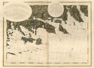
13251. White Haven
13252. White Haven

13253. White Haven
13254. White Haven

13255. White Haven


13263. White Plains

13264. Whitinsville, Mass.


![Whitman Mills (Cotton Mill), New Bedford, Mass. [insurance map]](https://bpldcassets.blob.core.windows.net/derivatives/images/commonwealth:ww72c001v/image_thumbnail_300.jpg)


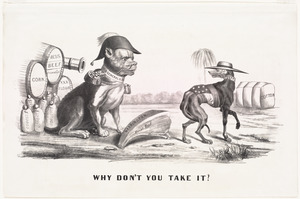
13271. Why don't you take it?


13274. Wilbraham
![Wilcox Manufacturing Company, Bldg., Kalco Textile Company, Inc. et al., Ten., New Bedford, Mass. [insurance map]](https://bpldcassets.blob.core.windows.net/derivatives/images/commonwealth:ww72c004p/image_thumbnail_300.jpg)

13276. The Wilderness

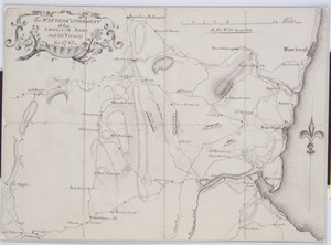
![[Willard's new map of the Hudson River for 1844]](https://bpldcassets.blob.core.windows.net/derivatives/images/commonwealth:b8516310f/image_thumbnail_300.jpg)
![William G. Schoonover & Linton A. Thrasher (Bldg.), Joseph P. Duchaine d/b/a My Bread Baking Co. (Ten.), New Bedford, Mass. [insurance map]](https://bpldcassets.blob.core.windows.net/derivatives/images/commonwealth:ww72bz99v/image_thumbnail_300.jpg)


13284. Williamstown, Mass


13286. Wilmington, Del : 1874

13287. Wilmington, Delaware

13288. Wilton, N.H


13290. Winchendon


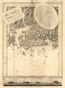
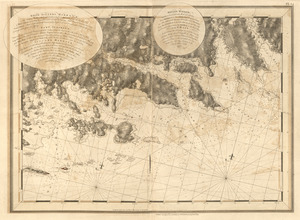
![Wind and current chart of the North Atlantic [sheet 1]](https://bpldcassets.blob.core.windows.net/derivatives/images/commonwealth:jh344151t/image_thumbnail_300.jpg)

13294. Windsor, Vermont : 1886


![Winslow & McKenzie "Warehouse," New Bedford, Mass. [insurance map]](https://bpldcassets.blob.core.windows.net/derivatives/images/commonwealth:ww72c0067/image_thumbnail_300.jpg)