Toggle navigation
LMEC Home
Exhibitions
Georeferencing
Tools for Teachers
Collections
My Favorites
Sign Up / Log In
Search
Search the map portal
Map Collection
Map Collection
Map Sets
Search
Search
Search for
Search In
All Fields
Creator
Title
Subject
Place
Search All Digital Collections
Advanced Search
13680 Results
Filter your Search
Place
North and Central America
10,344
United States
8,475
Massachusetts
2,789
Suffolk (county)
1,677
Boston
1,633
Europe
1,415
Canada
950
New York
649
more
Place
»
Topic
Boston (Mass.)--Maps
747
City planning--Massachusetts--Boston--Maps
418
United States--History--Revolution, 1775-1783--Maps
329
United States--Maps
322
Real property--Massachusetts--Boston--Maps
254
Urban renewal--Massachusetts--Boston--Maps
254
Massachusetts--Maps
231
Insurance surveys
197
more
Topic
»
Date
Date range begin
–
Date range end
Current results range from
1482
to
2023
View distribution
Creator
United States. Hydrographic Office
597
Boston Redevelopment Authority
404
Des Barres, Joseph F. W. (Joseph Frederick Wallet), 1722-1824
247
Royal United Services Institute for Defence and Security Studies
160
Jefferys, Thomas, -1771
154
George, III, King of Great Britain, 1738-1820
152
George, IV, King of Great Britain, 1762-1830
151
O.H. Bailey & Co
148
more
Creator
»
Format
Maps/Atlases
13,499
Manuscripts
985
Prints
102
Books
49
Drawings/Illustrations
44
Photographs
15
Objects/Artifacts
13
Documents
7
more
Format
»
Georeferenced
Yes
979
No
12,701
Collection
Norman B. Leventhal Map & Education Center Collection
9,096
American Revolutionary War-Era Maps
3,305
Boston and New England Maps
2,915
Urban Maps
2,471
Maritime Charts and Atlases
1,169
William L. Clements Library Collection
910
Library of Congress Collection
618
Boston Redevelopment Authority Collection
475
more
Collection
»
Available to use
No known restrictions
10,246
Creative Commons license
1,678
Search Constraints
Sort by relevance
relevance
title
date (asc)
date (desc)
Number of results to display per page
20 per page
10
per page
20
per page
50
per page
100
per page
View results as:
grid view
map view
Search Results
12761.
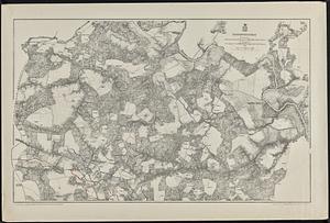
Total war battle map
12762.
Totius Alsatiae : novissima tabula qua simul Sundgovia, Brisigavia, Otenavia, maxima pars marchionatus Badensis, nec non aliae...
12763.
Totius Americae descriptio nova
12764.
Totius Americae septentrionalis et meridionalis novissima repræsentatio quam ex singulis recantium geographorum tabulis...
12765.
Totius Iutiae generalis accurata delincatio
12766.
Totopotomoy
12767.
Touraine = Turonensis ducatus
12768.
Touring road map of Chicago and environs : 6 counties
12769.
Tourist's map of Scotland : reduced by permission from the Ordnance Survey by John Bartholomew, F.R.G.S.
12770.
The tourist's map of the state of New York : compiled from the latest authorities in the Surveyor General's office
12771.
The tourist's pocket map of Pennsylvania : exhibiting its internal improvements, roads, distances, &c
12772.
The tourist's pocket map of the state of Ohio : exhibiting its internal improvements, roads, distances &c
12773.
The tourist's pocket map of the state of Virginia : exhibiting its internal improvements, roads, distances &c
12774.
The town & harbour of Boston &c.
12775.
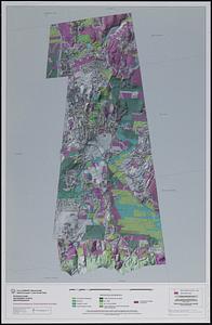
Town of Amherst, Massachusetts build out analysis - future growth study : protected lands, developable lands & new development...
12776.
Town of Belmont Assessors plans
12777.
Town of Belmont Massachusetts
12778.
The town of Boston in New England
12779.
The town of Boston in New England
12780.
The town of Boston in New England
‹ Prev
Next ›
1
2
…
635
636
637
638
639
640
641
642
643
…
683
684