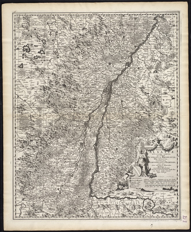
Totius Alsatiae : novissima tabula qua simul Sundgovia, Brisigavia, Otenavia, maxima pars marchionatus Badensis, nec non aliae insertae et adjacentes regiones
Item Information
- Title:
- Totius Alsatiae : novissima tabula qua simul Sundgovia, Brisigavia, Otenavia, maxima pars marchionatus Badensis, nec non aliae insertae et adjacentes regiones
- Title (alt.):
-
Collection of old maps
- Creator:
- Visscher, Nicolaes, 1649-1702
- Name on Item:
-
per Nicolaum Visscher.
- Date:
-
[ca. 1698]
- Format:
-
Maps/Atlases
- Location:
-
Boston Public Library
Norman B. Leventhal Map & Education Center - Collection (local):
-
Norman B. Leventhal Map & Education Center Collection
- Subjects:
-
Alsace (France)--Maps--Early works to 1800
- Places:
-
FranceAlsace (region)
- Extent:
- 1 map ; 57 x 46 cm.
- Terms of Use:
-
No known copyright restrictions.
No known restrictions on use.
- Publisher:
-
Amsterdam :
Nic. Visscher
- Scale:
-
Scale [ca. 1:350,000]
- Language:
-
Latin
- Notes:
-
Map of the Alsace region in France.
Relief shown pictorially.
Includes reference grid.
"Cum Privil. Ordin. General. Belgii Foederati."
Cataloging, conservation, and digitization made possible in part by The National Endowment for the Humanities: Exploring the human endeavor.
Part of composite portfolio atlas with title "Collection of old maps."
- Identifier:
-
06_01_009413
- Call #:
-
G1015 .C65 1630
- Barcode:
-
30000003859765


