Toggle navigation
LMEC Home
Exhibitions
Georeferencing
Tools for Teachers
Collections
My Favorites
Sign Up / Log In
Search
Search the map portal
Map Collection
Map Collection
Map Sets
Search
Search
Search for
Search In
All Fields
Creator
Title
Subject
Place
Search All Digital Collections
Advanced Search
13680 Results
Filter your Search
Place
North and Central America
10,344
United States
8,475
Massachusetts
2,789
Suffolk (county)
1,677
Boston
1,633
Europe
1,415
Canada
950
New York
649
more
Place
»
Topic
Boston (Mass.)--Maps
747
City planning--Massachusetts--Boston--Maps
418
United States--History--Revolution, 1775-1783--Maps
329
United States--Maps
322
Real property--Massachusetts--Boston--Maps
254
Urban renewal--Massachusetts--Boston--Maps
254
Massachusetts--Maps
231
Insurance surveys
197
more
Topic
»
Date
Date range begin
–
Date range end
Current results range from
1482
to
2023
View distribution
Creator
United States. Hydrographic Office
597
Boston Redevelopment Authority
404
Des Barres, Joseph F. W. (Joseph Frederick Wallet), 1722-1824
247
Royal United Services Institute for Defence and Security Studies
160
Jefferys, Thomas, -1771
154
George, III, King of Great Britain, 1738-1820
152
George, IV, King of Great Britain, 1762-1830
151
O.H. Bailey & Co
148
more
Creator
»
Format
Maps/Atlases
13,499
Manuscripts
985
Prints
102
Books
49
Drawings/Illustrations
44
Photographs
15
Objects/Artifacts
13
Documents
7
more
Format
»
Georeferenced
Yes
979
No
12,701
Collection
Norman B. Leventhal Map & Education Center Collection
9,096
American Revolutionary War-Era Maps
3,305
Boston and New England Maps
2,915
Urban Maps
2,471
Maritime Charts and Atlases
1,169
William L. Clements Library Collection
910
Library of Congress Collection
618
Boston Redevelopment Authority Collection
475
more
Collection
»
Available to use
No known restrictions
10,246
Creative Commons license
1,678
Search Constraints
Sort by relevance
relevance
title
date (asc)
date (desc)
Number of results to display per page
20 per page
10
per page
20
per page
50
per page
100
per page
View results as:
grid view
map view
Search Results
5961.
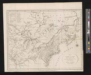
A map of the northern and middle states : comprehending the western territory & the British dominions in North America : from...
5962.
A map of the northern and middle states; comprehending the western territory and the British dominions in North America from...
5963.
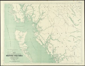
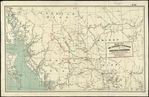
Map of the northern coast part of British Columbia
5964.
Map of the northern interior of British Columbia shewing undeveloped areas
5965.
Map of the northern, or, New England states of America, comprehending Vermont, New Hampshire, District of Main, Massachusetts,...
5966.
Map of the northern, or, New England states of America, comprehending Vermont, New Hampshire, District of Main, Massachusetts,...
5967.
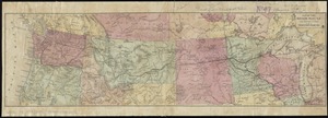
Map of the Northern Pacific R.R. its connections and tributary country
5968.
Map of the northern part of New England : compiled for Pres't. Dwight's travels
5969.
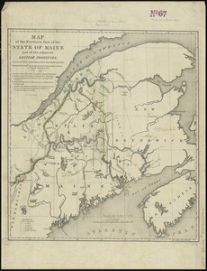
Map of the northern part of the state of Maine and of the adjacent British provinces : shewing the portion of that state to...
5970.
Map of the northern part of the state of New York
5971.
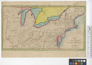
Map of the northern part of the United States of America
5972.
Map of the northern parts of New York
5973.
Map of the northern parts of the United States of America
5974.
Map of the northern provinces of the United States
5975.
Map of the Ohio River from Fort Pitt
5976.
Map of the oil district of West Virginia
5977.
A map of the Oneida Reservation : including the lands leased to Peter Smith
5978.
[Map of the operations at the seige of Savannah in 1779, by the French and American forces]
5979.
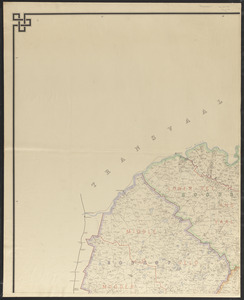
Map of the Orange River Colony
5980.
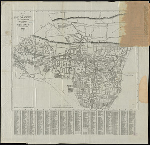
Map of the Oranges, and Irvington, New Jersey
‹ Prev
Next ›
1
2
…
295
296
297
298
299
300
301
302
303
…
683
684


![[Map of the operations at the seige of Savannah in 1779, by the French and American forces]](https://bpldcassets.blob.core.windows.net/derivatives/images/commonwealth:9s161g724/image_thumbnail_300.jpg)